Distance to Union, Kentucky

Calculating Your Route
Just a moment while we process your request...
Location Information
-
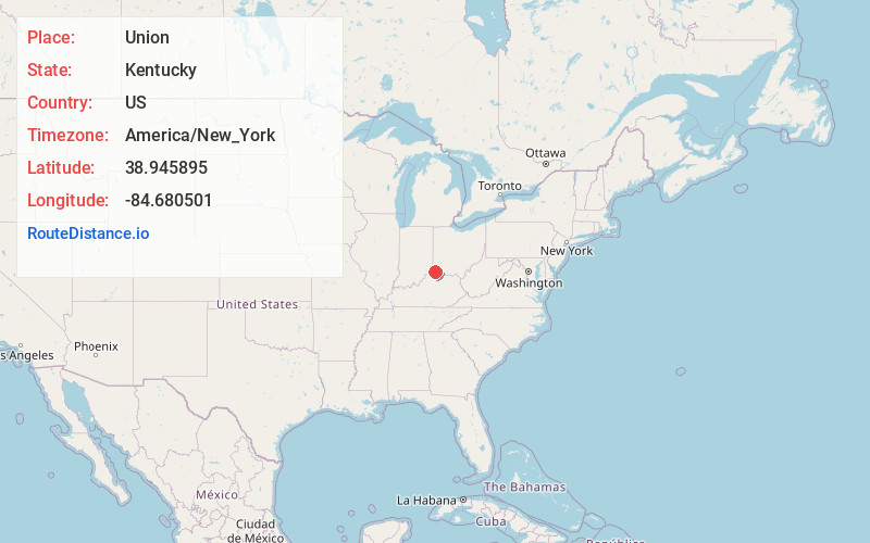
Full AddressUnion, KY
-
Coordinates38.9458951, -84.680501
-
LocationUnion , Kentucky , US
-
TimezoneAmerica/New_York
-
Current Local Time6:43:59 PM America/New_YorkWednesday, June 18, 2025
-
Website
-
Page Views0
About Union
Union is a home-rule-class city in Boone County, Kentucky, United States. The population was 7,416 as of the 2020 United States census. The area was rural until residential growth in the 1990s and 2000s. Union is located 17 miles southwest of Cincinnati, Ohio.


Nearby Places
Found 10 places within 50 miles

Oakbrook
3.7 mi
6.0 km
Oakbrook, KY
Get directions

Florence
4.7 mi
7.6 km
Florence, KY
Get directions

Burlington
6.1 mi
9.8 km
Burlington, KY 41005
Get directions

Elsmere
6.1 mi
9.8 km
Elsmere, KY
Get directions

Erlanger
6.5 mi
10.5 km
Erlanger, KY
Get directions

Edgewood
7.3 mi
11.7 km
Edgewood, KY
Get directions

Independence
7.3 mi
11.7 km
Independence, KY
Get directions
Fort Mitchell
9.5 mi
15.3 km
Fort Mitchell, KY
Get directions
Francisville
11.1 mi
17.9 km
Francisville, KY 41048
Get directions

Covington
13.3 mi
21.4 km
Covington, KY
Get directions
Location Links
Local Weather
Weather Information
Coming soon!
Location Map
Static map view of Union, Kentucky
Browse Places by Distance
Places within specific distances from Union
Short Distances
Long Distances
Click any distance to see all places within that range from Union. Distances shown in miles (1 mile ≈ 1.61 kilometers).