Distance to Unionville, Nevada

Calculating Your Route
Just a moment while we process your request...
Location Information
-
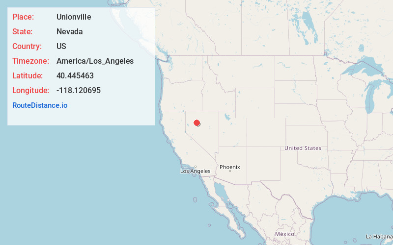
Full AddressUnionville, NV 89418
-
Coordinates40.4454634, -118.1206953
-
LocationUnionville , Nevada , US
-
TimezoneAmerica/Los_Angeles
-
Current Local Time1:04:32 AM America/Los_AngelesThursday, June 5, 2025
-
Page Views0
About Unionville
Unionville is a census-designated place in Pershing County, Nevada, located south of I-80 and just west of State Route 400 on Unionville Road, with the population as of the 2020 census being 27.
Nearby Places
Found 5 places within 50 miles

Humboldt River Ranch
8.5 mi
13.7 km
Humboldt River Ranch, NV
Get directions

Imlay
15.0 mi
24.1 km
Imlay, NV 89418
Get directions

Lovelock
26.1 mi
42.0 km
Lovelock, NV 89419
Get directions

Winnemucca
41.6 mi
66.9 km
Winnemucca, NV 89445
Get directions

Golconda
48.2 mi
77.6 km
Golconda, NV 89414
Get directions
Location Links
Local Weather
Weather Information
Coming soon!
Location Map
Static map view of Unionville, Nevada
Browse Places by Distance
Places within specific distances from Unionville
Short Distances
Long Distances
Click any distance to see all places within that range from Unionville. Distances shown in miles (1 mile ≈ 1.61 kilometers).