Distance to Unitia, Tennessee

Calculating Your Route
Just a moment while we process your request...
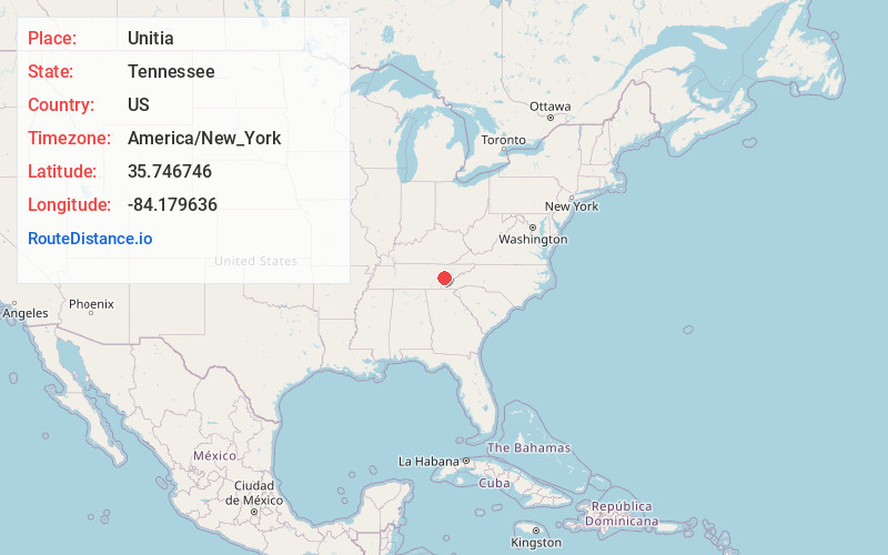
Location Information
-
Full AddressUnitia, TN 37772
-
Coordinates35.7467455, -84.1796363
-
LocationTennessee , US
-
TimezoneAmerica/New_York
-
Current Local Time1:44:03 AM America/New_YorkWednesday, June 25, 2025
-
Page Views0
About Unitia
Unitia is an Unincorporated community of Loudon County, Tennessee. Historically it was a crossroads village, the site of a post office, and a stop on the Underground Railroad. The historical center of the community was flooded in the 1940s by the filling of the reservoir behind Fort Loudoun Dam.
Nearby Places
Found 10 places within 50 miles

Sequoyah Heights
1.7 mi
2.7 km
Sequoyah Heights, TN 37737
Get directions
McMullens
2.1 mi
3.4 km
McMullens, TN 37772
Get directions

Friendsville
2.6 mi
4.2 km
Friendsville, TN
Get directions
Coulter Shoals
3.2 mi
5.1 km
Coulter Shoals, Tennessee 37772
Get directions
Busselltown
3.7 mi
6.0 km
Busselltown, TN 37772
Get directions
Fort Loudon Estates
3.8 mi
6.1 km
Fort Loudon Estates, TN 37772
Get directions

Scenic Point Estates
4.3 mi
6.9 km
Scenic Point Estates, TN 37777
Get directions
Mahoney Mill
5.1 mi
8.2 km
Mahoney Mill, TN 37777
Get directions
Moralfa
5.3 mi
8.5 km
Moralfa, TN 37777
Get directions
Choto Hills
5.3 mi
8.5 km
Choto Hills, TN 37777
Get directions
Location Links
Local Weather
Weather Information
Coming soon!
Location Map
Static map view of Unitia, Tennessee
Browse Places by Distance
Places within specific distances from Unitia
Short Distances
Long Distances
Click any distance to see all places within that range from Unitia. Distances shown in miles (1 mile ≈ 1.61 kilometers).