Distance to Upper Black Eddy, Pennsylvania

Calculating Your Route
Just a moment while we process your request...
Location Information
-
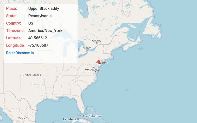
Full AddressUpper Black Eddy, PA 18972
-
Coordinates40.5656117, -75.1006068
-
LocationUpper Black Eddy , Pennsylvania , US
-
TimezoneAmerica/New_York
-
Current Local Time1:56:26 AM America/New_YorkWednesday, June 18, 2025
-
Page Views0
About Upper Black Eddy
Upper Black Eddy, locally referred to as UBE, is a village located in northern Bucks County, Pennsylvania, United States. The village is 58 miles west-southwest of New York City and 45 miles north of Philadelphia.


Nearby Places
Found 10 places within 50 miles

Milford
0.4 mi
0.6 km
Milford, NJ 08848
Get directions

Ruppletown
0.9 mi
1.4 km
Ruppletown, Bridgeton Township, PA 18972
Get directions
Narrowsville
1.5 mi
2.4 km
Narrowsville, Bridgeton Township, PA 18972
Get directions

Holland Township
2.2 mi
3.5 km
Holland Township, NJ
Get directions
Jugtown
2.4 mi
3.9 km
Jugtown, Tinicum Township, PA 18972
Get directions

Frenchtown
3.4 mi
5.5 km
Frenchtown, NJ 08825
Get directions

Alexandria
3.8 mi
6.1 km
Alexandria, NJ
Get directions

Kintnersville
4.1 mi
6.6 km
Kintnersville, PA
Get directions
Ferndale
4.7 mi
7.6 km
Ferndale, PA 18972
Get directions

Revere
4.7 mi
7.6 km
Revere, PA 18953
Get directions
Location Links
Local Weather
Weather Information
Coming soon!
Location Map
Static map view of Upper Black Eddy, Pennsylvania
Browse Places by Distance
Places within specific distances from Upper Black Eddy
Short Distances
Long Distances
Click any distance to see all places within that range from Upper Black Eddy. Distances shown in miles (1 mile ≈ 1.61 kilometers).