Distance to Upper Bradley Place, Georgia

Calculating Your Route
Just a moment while we process your request...
Location Information
-
Full AddressUpper Bradley Place, GA 31821
-
Coordinates32.2051519, -84.9457614
-
LocationGeorgia , US
-
TimezoneAmerica/New_York
-
Current Local Time6:51:58 AM America/New_YorkSunday, May 25, 2025
-
Page Views0
Nearby Places
Found 10 places within 50 miles

Heard Place
3.6 mi
5.8 km
Heard Place, GA 31821
Get directions
Loflin
5.2 mi
8.4 km
Loflin, AL 36871
Get directions
Louvale Station
7.4 mi
11.9 km
Louvale Station, GA 31815
Get directions
Charles
8.7 mi
14.0 km
Charles, GA 31815
Get directions

Cusseta
12.1 mi
19.5 km
Cusseta, GA
Get directions
Battle Park
12.4 mi
20.0 km
Battle Park, Columbus, GA 31905
Get directions

Lumpkin
13.7 mi
22.0 km
Lumpkin, GA 31815
Get directions
Shady Grove
14.6 mi
23.5 km
Shady Grove, GA 31825
Get directions
Christopher
15.1 mi
24.3 km
Christopher, Cusseta, GA 31805
Get directions
Steam Mill Creek
18.1 mi
29.1 km
Steam Mill Creek, Columbus, GA 31907
Get directions
Location Links
Local Weather
Weather Information
Coming soon!
Location Map
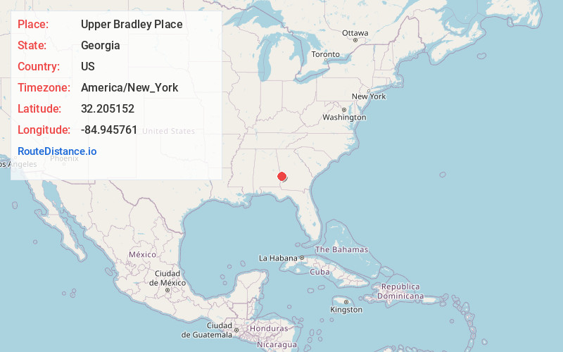
Static map view of Upper Bradley Place, Georgia
Browse Places by Distance
Places within specific distances from Upper Bradley Place
Short Distances
Long Distances
Click any distance to see all places within that range from Upper Bradley Place. Distances shown in miles (1 mile ≈ 1.61 kilometers).