Distance to Upper Dutchtown, Pennsylvania

Calculating Your Route
Just a moment while we process your request...
Location Information
-
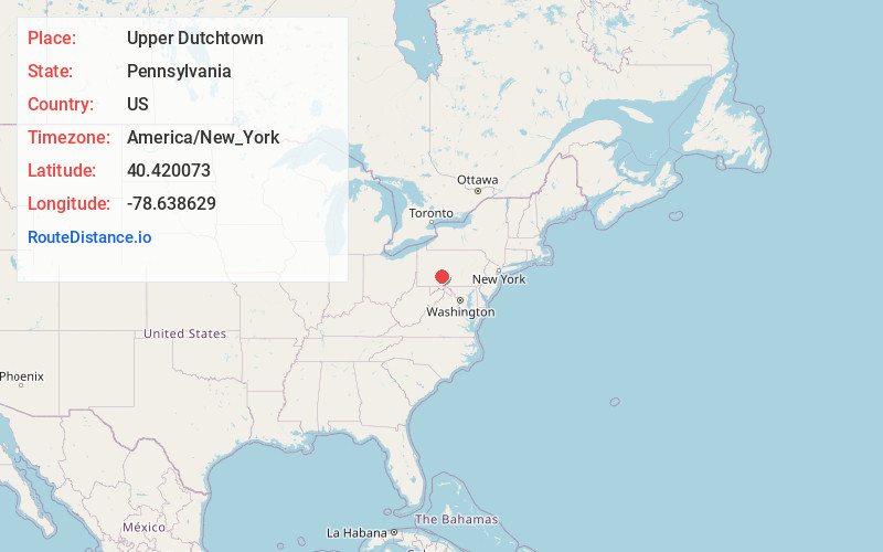
Full AddressUpper Dutchtown, Washington Township, PA 15938
-
Coordinates40.4200728, -78.6386293
-
LocationWashington Township , Pennsylvania , US
-
TimezoneAmerica/New_York
-
Current Local Time7:47:53 AM America/New_YorkSaturday, June 21, 2025
-
Page Views0
Nearby Places
Found 10 places within 50 miles

Cassandra
0.8 mi
1.3 km
Cassandra, PA
Get directions

Lilly
1.1 mi
1.8 km
Lilly, PA 15938
Get directions

Portage
2.8 mi
4.5 km
Portage, PA
Get directions
Spring Hill
3.4 mi
5.5 km
Spring Hill, PA 15946
Get directions
Munster
3.4 mi
5.5 km
Munster, PA 15940
Get directions

Cresson
3.7 mi
6.0 km
Cresson, PA 16630
Get directions
Puritan
3.8 mi
6.1 km
Puritan, PA 15946
Get directions
Sankertown
4.2 mi
6.8 km
Sankertown, PA
Get directions
Wilmore
4.7 mi
7.6 km
Wilmore, PA
Get directions
Loretto
5.8 mi
9.3 km
Loretto, PA 15940
Get directions
Location Links
Local Weather
Weather Information
Coming soon!
Location Map
Static map view of Upper Dutchtown, Pennsylvania
Browse Places by Distance
Places within specific distances from Upper Dutchtown
Short Distances
Long Distances
Click any distance to see all places within that range from Upper Dutchtown. Distances shown in miles (1 mile ≈ 1.61 kilometers).