Distance to Upper Flats, West Virginia

Calculating Your Route
Just a moment while we process your request...
Location Information
-
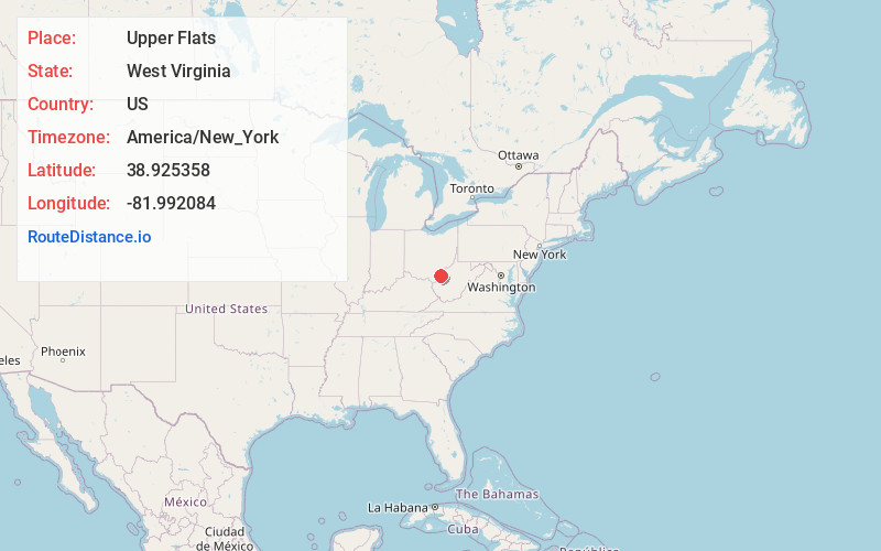
Full AddressUpper Flats, WV 25253
-
Coordinates38.925358, -81.9920835
-
LocationWest Virginia , US
-
TimezoneAmerica/New_York
-
Current Local Time4:43:31 PM America/New_YorkThursday, June 19, 2025
-
Page Views0
Nearby Places
Found 10 places within 50 miles

Letart
3.8 mi
6.1 km
Letart, WV 25253
Get directions
Rayburn
4.1 mi
6.6 km
Rayburn, WV 25550
Get directions
Longdale
4.3 mi
6.9 km
Longdale, WV 25253
Get directions
New Haven
4.3 mi
6.9 km
New Haven, WV
Get directions
Pike Hill
4.5 mi
7.2 km
Pike Hill, WV 25287
Get directions
Plants
4.8 mi
7.7 km
Plants, Letart Township, OH 45771
Get directions
Syracuse
5.1 mi
8.2 km
Syracuse, OH
Get directions

Racine
5.2 mi
8.4 km
Racine, OH 45771
Get directions
Hartford City
5.4 mi
8.7 km
Hartford City, WV
Get directions
Lakin
5.6 mi
9.0 km
Lakin, WV 25287
Get directions
Location Links
Local Weather
Weather Information
Coming soon!
Location Map
Static map view of Upper Flats, West Virginia
Browse Places by Distance
Places within specific distances from Upper Flats
Short Distances
Long Distances
Click any distance to see all places within that range from Upper Flats. Distances shown in miles (1 mile ≈ 1.61 kilometers).