Distance to Upper Merion Township, Pennsylvania

Calculating Your Route
Just a moment while we process your request...
Location Information
-
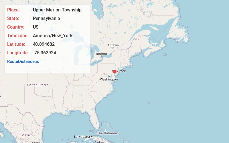
Full AddressUpper Merion Township, PA
-
Coordinates40.0946819, -75.3629241
-
LocationUpper Merion Township , Pennsylvania , US
-
TimezoneAmerica/New_York
-
Current Local Time7:34:10 AM America/New_YorkTuesday, June 3, 2025
-
Page Views0
About Upper Merion Township
Upper Merion Township is a township in Montgomery County, Pennsylvania, United States. The population was 33,613 at the 2020 U.S. Census. Located 16 miles from Philadelphia, it consists of the villages of Gulph Mills, King of Prussia, Swedeland, Swedesburg, and portions of Radnor, and Wayne.
Nearby Places
Found 10 places within 50 miles

Norristown
2.2 mi
3.5 km
Norristown, PA
Get directions

Radnor
3.4 mi
5.5 km
Radnor, PA 19087
Get directions

Tredyffrin Township
4.2 mi
6.8 km
Tredyffrin Township, PA
Get directions

Lower Merion Township
6.4 mi
10.3 km
Lower Merion Township, PA
Get directions

Haverford
6.7 mi
10.8 km
Haverford, PA
Get directions

Upper Darby Township
10.2 mi
16.4 km
Upper Darby Township, PA
Get directions

Cheltenham Township
12.0 mi
19.3 km
Cheltenham Township, PA
Get directions

Abington Township
13.1 mi
21.1 km
Abington Township, PA
Get directions

Philadelphia
14.3 mi
23.0 km
Philadelphia, PA
Get directions

Warminster Township
15.5 mi
24.9 km
Warminster Township, PA 18974
Get directions
Location Links
Local Weather
Weather Information
Coming soon!
Location Map
Static map view of Upper Merion Township, Pennsylvania
Browse Places by Distance
Places within specific distances from Upper Merion Township
Short Distances
Long Distances
Click any distance to see all places within that range from Upper Merion Township. Distances shown in miles (1 mile ≈ 1.61 kilometers).