Distance to Upper Mingo, West Virginia

Calculating Your Route
Just a moment while we process your request...
Location Information
-
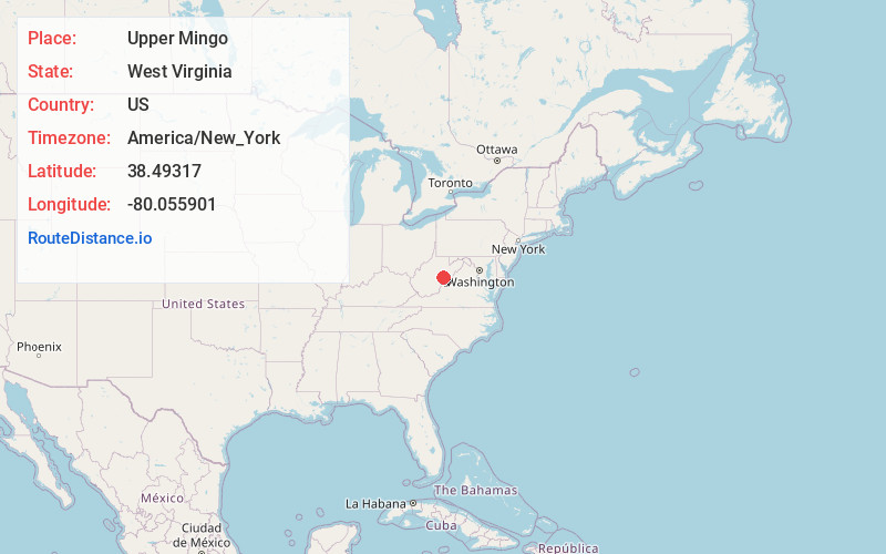
Full AddressUpper Mingo, WV 26294
-
Coordinates38.4931697, -80.0559011
-
LocationUpper Mingo , West Virginia , US
-
TimezoneAmerica/New_York
-
Current Local Time9:15:45 AM America/New_YorkMonday, June 23, 2025
-
Page Views0
About Upper Mingo
Upper Mingo is an unincorporated community in southern Randolph County, West Virginia, United States. Upper Mingo is located along the Tygart Valley River on U.S. Route 219 and West Virginia Route 55, 17 miles south-southwest of Mill Creek.
Nearby Places
Found 10 places within 50 miles

Mingo
0.4 mi
0.6 km
Mingo, WV 26294
Get directions

Valley Head
3.7 mi
6.0 km
Valley Head, WV 26294
Get directions
Brady Gate
3.9 mi
6.3 km
Brady Gate, WV 26294
Get directions
Walnut
4.9 mi
7.9 km
Walnut, WV 26291
Get directions

Linwood
5.0 mi
8.0 km
Linwood, WV 26209
Get directions
Monterville
5.3 mi
8.5 km
Monterville, WV 26294
Get directions

Snowshoe
6.4 mi
10.3 km
Snowshoe, WV 24934
Get directions

Slaty Fork
6.5 mi
10.5 km
Slaty Fork, WV 26291
Get directions
Nida
9.9 mi
15.9 km
Nida, WV 26264
Get directions
Elkwater
10.1 mi
16.3 km
Elkwater, WV 26294
Get directions
Location Links
Local Weather
Weather Information
Coming soon!
Location Map
Static map view of Upper Mingo, West Virginia
Browse Places by Distance
Places within specific distances from Upper Mingo
Short Distances
Long Distances
Click any distance to see all places within that range from Upper Mingo. Distances shown in miles (1 mile ≈ 1.61 kilometers).