Distance to Upper Pittsgrove, New Jersey

Calculating Your Route
Just a moment while we process your request...
Location Information
-
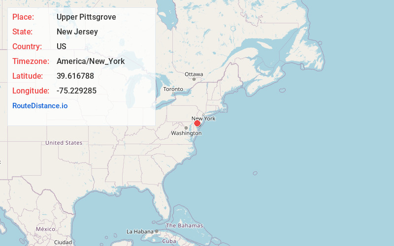
Full AddressUpper Pittsgrove, NJ
-
Coordinates39.6167882, -75.2292849
-
LocationUpper Pittsgrove , New Jersey , US
-
TimezoneAmerica/New_York
-
Current Local Time6:47:04 PM America/New_YorkTuesday, June 17, 2025
-
Page Views0
About Upper Pittsgrove
Upper Pittsgrove Township is a township in Salem County, in the U.S. state of New Jersey. As of the 2020 United States census, the township's population was 3,432, a decrease of 73 from the 2010 census count of 3,505, which in turn reflected an increase of 37 from the 3,468 counted in the 2000 census.
Nearby Places
Found 10 places within 50 miles

Elk
4.5 mi
7.2 km
Elk, NJ
Get directions

Pilesgrove
4.8 mi
7.7 km
Pilesgrove, NJ 08098
Get directions

Woodstown
5.8 mi
9.3 km
Woodstown, NJ 08098
Get directions

Upper Deerfield Township
6.4 mi
10.3 km
Upper Deerfield Township, NJ
Get directions

Pittsgrove
7.1 mi
11.4 km
Pittsgrove, NJ 08318
Get directions

Clayton
7.9 mi
12.7 km
Clayton, NJ
Get directions

Glassboro
8.8 mi
14.2 km
Glassboro, NJ
Get directions

Pitman
9.6 mi
15.4 km
Pitman, NJ 08071
Get directions

Woolwich Township
9.8 mi
15.8 km
Woolwich Township, NJ
Get directions

Mantua Township
11.7 mi
18.8 km
Mantua Township, NJ
Get directions
Location Links
Local Weather
Weather Information
Coming soon!
Location Map
Static map view of Upper Pittsgrove, New Jersey
Browse Places by Distance
Places within specific distances from Upper Pittsgrove
Short Distances
Long Distances
Click any distance to see all places within that range from Upper Pittsgrove. Distances shown in miles (1 mile ≈ 1.61 kilometers).