Distance to Upper Red Lake, Minnesota

Calculating Your Route
Just a moment while we process your request...
Location Information
-
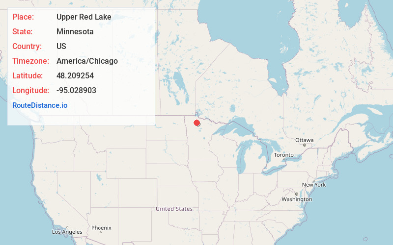
Full AddressUpper Red Lake, MN
-
Coordinates48.2092542, -95.0289034
-
LocationUpper Red Lake , Minnesota , US
-
TimezoneAmerica/Chicago
-
Current Local Time6:52:43 AM America/ChicagoSaturday, June 21, 2025
-
Page Views0
About Upper Red Lake
Upper Red Lake is an unorganized territory in Beltrami County, Minnesota, U.S. It is a part of the Red Lake Indian Reservation. The population was 14 at the 2023 census.

Nearby Places
Found 10 places within 50 miles

Thorhult
10.2 mi
16.4 km
Thorhult, MN 56727
Get directions
Minnie Township
14.0 mi
22.5 km
Minnie Township, MN 56727
Get directions

Ponemah
14.1 mi
22.7 km
Ponemah, MN 56666
Get directions
Four Town
15.0 mi
24.1 km
Four Town, MN 56727
Get directions
Malcolm
16.2 mi
26.1 km
Malcolm, MN 56727
Get directions
Jelle
17.2 mi
27.7 km
Jelle, MN 56727
Get directions
Carmel
19.8 mi
31.9 km
Carmel, MN 56727
Get directions
Shotley Township
20.6 mi
33.2 km
Shotley Township, MN 56650
Get directions
Shotley
21.1 mi
34.0 km
Shotley, MN 56650
Get directions
Otto
21.2 mi
34.1 km
Otto, MN 56650
Get directions
Location Links
Local Weather
Weather Information
Coming soon!
Location Map
Static map view of Upper Red Lake, Minnesota
Browse Places by Distance
Places within specific distances from Upper Red Lake
Short Distances
Long Distances
Click any distance to see all places within that range from Upper Red Lake. Distances shown in miles (1 mile ≈ 1.61 kilometers).