Distance to Upper Shady, Tennessee

Calculating Your Route
Just a moment while we process your request...
Location Information
-
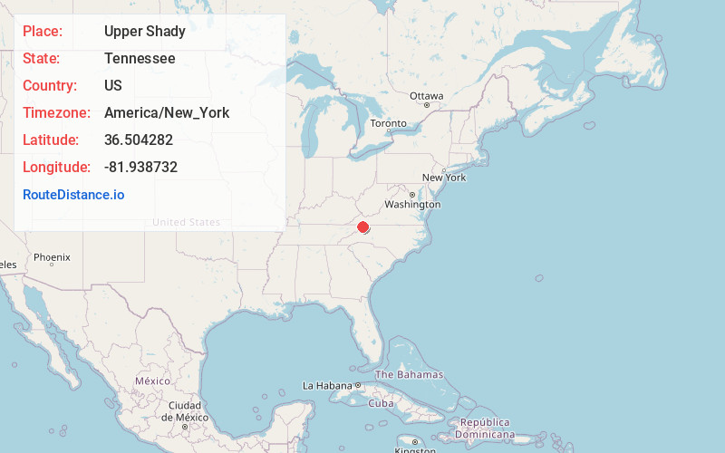
Full AddressUpper Shady, TN 37688
-
Coordinates36.5042821, -81.938732
-
LocationTennessee , US
-
TimezoneAmerica/New_York
-
Current Local Time12:25:40 PM America/New_YorkMonday, June 23, 2025
-
Page Views0
Nearby Places
Found 10 places within 50 miles

Harmon
2.4 mi
3.9 km
Harmon, TN 37688
Get directions
Crandull
3.8 mi
6.1 km
Crandull, TN 37688
Get directions
Camp Tom Howard
3.9 mi
6.3 km
Camp Tom Howard, TN 37620
Get directions
Little Doe
4.8 mi
7.7 km
Little Doe, TN 37683
Get directions
Buladeen
5.4 mi
8.7 km
Buladeen, TN 37643
Get directions
Pandora
5.7 mi
9.2 km
Pandora, TN 37640
Get directions
Twin Oaks
6.4 mi
10.3 km
Twin Oaks, TN 37620
Get directions
Harr
6.5 mi
10.5 km
Harr, TN 37620
Get directions
Offset
7.1 mi
11.4 km
Offset, TN 37620
Get directions
Fuller
7.4 mi
11.9 km
Fuller, TN 37683
Get directions
Location Links
Local Weather
Weather Information
Coming soon!
Location Map
Static map view of Upper Shady, Tennessee
Browse Places by Distance
Places within specific distances from Upper Shady
Short Distances
Long Distances
Click any distance to see all places within that range from Upper Shady. Distances shown in miles (1 mile ≈ 1.61 kilometers).