Distance to Upper Turkeyfoot Township, Pennsylvania

Calculating Your Route
Just a moment while we process your request...
Location Information
-
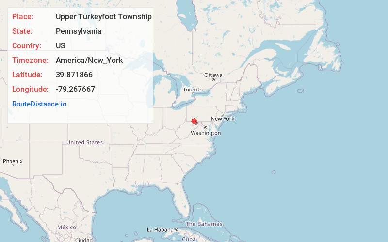
Full AddressUpper Turkeyfoot Township, PA
-
Coordinates39.8718657, -79.2676668
-
LocationUpper Turkeyfoot Township , Pennsylvania , US
-
TimezoneAmerica/New_York
-
Current Local Time12:45:37 PM America/New_YorkTuesday, June 3, 2025
-
Page Views0
About Upper Turkeyfoot Township
Upper Turkeyfoot Township is a township in Somerset County, Pennsylvania, United States. The population was 1,063 at the 2020 census. It is part of the Johnstown, Pennsylvania metropolitan statistical area.

Nearby Places
Found 10 places within 50 miles

Huston
6.4 mi
10.3 km
Huston, Lower Turkeyfoot Township, PA 15424
Get directions
Elk Lick Township
9.7 mi
15.6 km
Elk Lick Township, PA
Get directions

Henry Clay Township
12.0 mi
19.3 km
Henry Clay Township, PA
Get directions
Salisbury
12.9 mi
20.8 km
Salisbury, PA 15558
Get directions

Meyersdale
13.5 mi
21.7 km
Meyersdale, PA 15552
Get directions

Somerset
13.8 mi
22.2 km
Somerset, PA 15501
Get directions
Brothersvalley Township
14.9 mi
24.0 km
Brothersvalley Township, PA
Get directions

Farmington
16.4 mi
26.4 km
Farmington, PA 15437
Get directions

Berlin
16.8 mi
27.0 km
Berlin, PA 15530
Get directions

Donegal
17.7 mi
28.5 km
Donegal, PA
Get directions
Location Links
Local Weather
Weather Information
Coming soon!
Location Map
Static map view of Upper Turkeyfoot Township, Pennsylvania
Browse Places by Distance
Places within specific distances from Upper Turkeyfoot Township
Short Distances
Long Distances
Click any distance to see all places within that range from Upper Turkeyfoot Township. Distances shown in miles (1 mile ≈ 1.61 kilometers).