Distance to Upson, Wisconsin

Calculating Your Route
Just a moment while we process your request...
Location Information
-
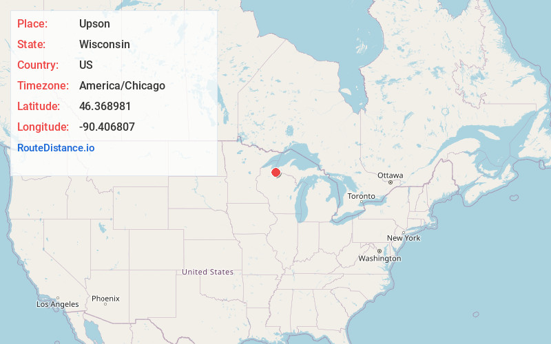
Full AddressUpson, WI 54565
-
Coordinates46.3689809, -90.4068069
-
LocationUpson , Wisconsin , US
-
TimezoneAmerica/Chicago
-
Current Local Time7:45:46 AM America/ChicagoThursday, May 22, 2025
-
Page Views0
About Upson
Upson is an unincorporated community located in Iron County, Wisconsin, United States. Upson is located at the junction of Wisconsin Highway 77 and Wisconsin Highway 122 12 miles southwest of Hurley, in the town of Anderson.
Nearby Places
Found 10 places within 50 miles

Rouse
2.9 mi
4.7 km
Rouse, WI 54559
Get directions
Iron Belt
4.5 mi
7.2 km
Iron Belt, WI
Get directions
Pence
7.2 mi
11.6 km
Pence, WI 54550
Get directions

Saxon
8.6 mi
13.8 km
Saxon, WI 54559
Get directions
Gurney
8.6 mi
13.8 km
Gurney, WI 54559
Get directions

Montreal
8.7 mi
14.0 km
Montreal, WI
Get directions
Ballou
9.0 mi
14.5 km
Ballou, WI 54546
Get directions
Kimball
9.2 mi
14.8 km
Kimball, WI 54534
Get directions
Cedar
10.5 mi
16.9 km
Cedar, WI 54559
Get directions
Sedgwick
11.6 mi
18.7 km
Sedgwick, WI 54546
Get directions
Location Links
Local Weather
Weather Information
Coming soon!
Location Map
Static map view of Upson, Wisconsin
Browse Places by Distance
Places within specific distances from Upson
Short Distances
Long Distances
Click any distance to see all places within that range from Upson. Distances shown in miles (1 mile ≈ 1.61 kilometers).