Distance to Urey, Pennsylvania

Calculating Your Route
Just a moment while we process your request...
Location Information
-
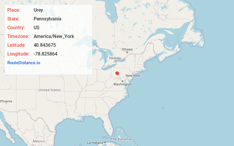
Full AddressUrey, Banks Township, PA 15742
-
Coordinates40.8436752, -78.8258643
-
LocationBanks Township , Pennsylvania , US
-
TimezoneAmerica/New_York
-
Current Local Time10:14:52 PM America/New_YorkSunday, June 1, 2025
-
Page Views0
Nearby Places
Found 10 places within 50 miles

Glen Campbell
1.6 mi
2.6 km
Glen Campbell, PA 15742
Get directions
Keal Run
2.3 mi
3.7 km
Keal Run, Banks Township, PA 15742
Get directions
Burnside
3.0 mi
4.8 km
Burnside, PA
Get directions
Patchinville
5.1 mi
8.2 km
Patchinville, Burnside Township, PA 15724
Get directions
Wilgus
5.2 mi
8.4 km
Wilgus, Montgomery Township, PA 15742
Get directions
Cush Creek
5.2 mi
8.4 km
Cush Creek, Montgomery Township, PA 15724
Get directions
Mahaffey
5.7 mi
9.2 km
Mahaffey, PA 15757
Get directions
Bowdertown
5.8 mi
9.3 km
Bowdertown, Montgomery Township, PA 15724
Get directions
New Washington
6.5 mi
10.5 km
New Washington, PA 15757
Get directions

Rossiter
6.5 mi
10.5 km
Rossiter, PA 15772
Get directions
Location Links
Local Weather
Weather Information
Coming soon!
Location Map
Static map view of Urey, Pennsylvania
Browse Places by Distance
Places within specific distances from Urey
Short Distances
Long Distances
Click any distance to see all places within that range from Urey. Distances shown in miles (1 mile ≈ 1.61 kilometers).