Distance to U.S. Customs and Border Protection Otay Mesa Port of Entry, California

Calculating Your Route
Just a moment while we process your request...
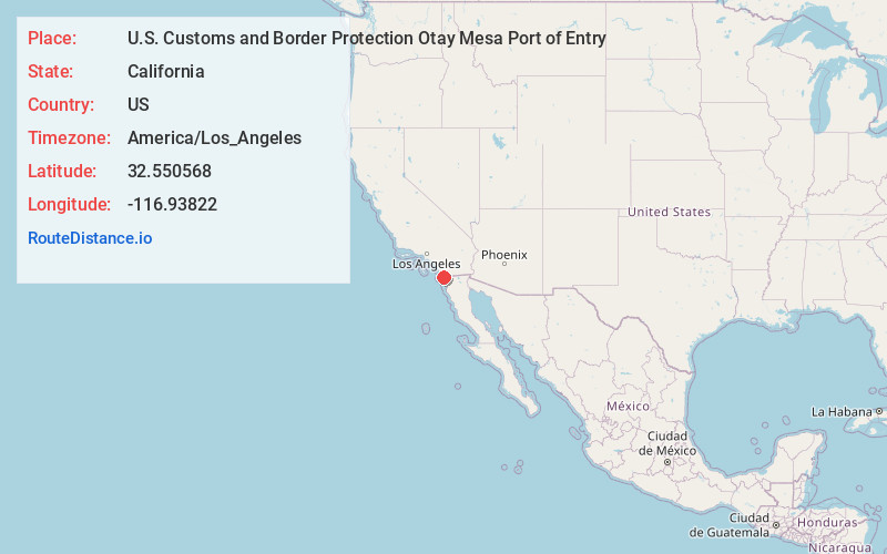
Location Information
-
Full AddressU.S. Customs and Border Protection Otay Mesa Port of Entry, 9777 Via de la Amistad, San Diego, CA 92154
-
Coordinates32.5505681, -116.9382197
-
Street9777 Via de la Amistad
-
NeighborhoodOtay Mesa
-
LocationSan Diego , California , US
-
TimezoneAmerica/Los_Angeles
-
Current Local Time9:42:56 PM America/Los_AngelesTuesday, May 27, 2025
-
Page Views0


Nearby Places
Found 10 places within 50 miles

Tijuana
4.9 mi
7.9 km
Tijuana, Baja California, Mexico
Get directions

Bonita
9.3 mi
15.0 km
Bonita, CA
Get directions

Imperial Beach
10.4 mi
16.7 km
Imperial Beach, CA
Get directions

Chula Vista
10.5 mi
16.9 km
Chula Vista, CA
Get directions

Dulzura
11.2 mi
18.0 km
Dulzura, CA 91917
Get directions

Lincoln Acres
11.3 mi
18.2 km
Lincoln Acres, CA 91950
Get directions
Engineer Springs
11.4 mi
18.3 km
Engineer Springs, CA 91917
Get directions

La Presa
11.7 mi
18.8 km
La Presa, CA
Get directions

Jamul
12.1 mi
19.5 km
Jamul, CA
Get directions

National City
12.9 mi
20.8 km
National City, CA
Get directions
Location Links
Local Weather
Weather Information
Coming soon!
Location Map
Static map view of U.S. Customs and Border Protection Otay Mesa Port of Entry, California
Browse Places by Distance
Places within specific distances from U.S. Customs and Border Protection Otay Mesa Port of Entry
Short Distances
Long Distances
Click any distance to see all places within that range from U.S. Customs and Border Protection Otay Mesa Port of Entry. Distances shown in miles (1 mile ≈ 1.61 kilometers).