Distance to Uvalda, Georgia

Calculating Your Route
Just a moment while we process your request...
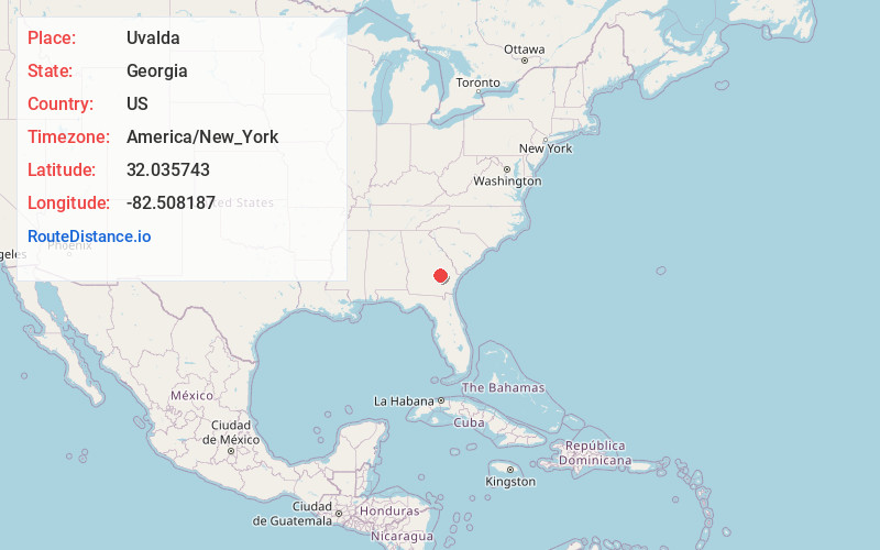
Location Information
-
Full AddressUvalda, GA 30473
-
Coordinates32.0357429, -82.5081868
-
LocationUvalda , Georgia , US
-
TimezoneAmerica/New_York
-
Current Local Time8:24:58 AM America/New_YorkThursday, June 19, 2025
-
Page Views0
About Uvalda
Uvalda is a city in Montgomery County, Georgia, United States. The population was 439 at the 2020 census, down from 598 in 2010.

Nearby Places
Found 10 places within 50 miles

Ailey
11.0 mi
17.7 km
Ailey, GA
Get directions

Mt Vernon
11.1 mi
17.9 km
Mt Vernon, GA
Get directions

Lumber City
12.4 mi
20.0 km
Lumber City, GA
Get directions

Hazlehurst
12.5 mi
20.1 km
Hazlehurst, GA 31539
Get directions

Glenwood
13.7 mi
22.0 km
Glenwood, GA
Get directions

Vidalia
13.7 mi
22.0 km
Vidalia, GA
Get directions
Graham
14.1 mi
22.7 km
Graham, GA
Get directions

Lyons
16.0 mi
25.7 km
Lyons, GA 30436
Get directions

Alamo
17.6 mi
28.3 km
Alamo, GA 30411
Get directions

Baxley
20.1 mi
32.3 km
Baxley, GA 31513
Get directions
Location Links
Local Weather
Weather Information
Coming soon!
Location Map
Static map view of Uvalda, Georgia
Browse Places by Distance
Places within specific distances from Uvalda
Short Distances
Long Distances
Click any distance to see all places within that range from Uvalda. Distances shown in miles (1 mile ≈ 1.61 kilometers).