Distance to Uwharrie National Forest, North Carolina

Calculating Your Route
Just a moment while we process your request...
Location Information
-
Full AddressUwharrie National Forest, Troy, NC 27371
-
Coordinates35.3660613, -79.9632863
-
LocationTroy , North Carolina , US
-
TimezoneAmerica/New_York
-
Current Local Time1:52:06 AM America/New_YorkWednesday, June 18, 2025
-
Page Views0
About Uwharrie National Forest
Camping, hiking, climbing, biking & other outdoor activities on 51,000 acres of public forest lands.


Nearby Places
Found 10 places within 50 miles

Refuge Mission
1.4 mi
2.3 km
Refuge Mission, NC 27371
Get directions
Liberty Hill
2.7 mi
4.3 km
Liberty Hill, NC 27371
Get directions
Roberdo
3.7 mi
6.0 km
Roberdo, NC 27306
Get directions

Troy
3.9 mi
6.3 km
Troy, NC 27371
Get directions
Uwharrie
4.1 mi
6.6 km
Uwharrie, NC 27371
Get directions
Lovejoy
4.6 mi
7.4 km
Lovejoy, NC 27371
Get directions
Wadeville
5.8 mi
9.3 km
Wadeville, NC 27306
Get directions
Capelsie
6.1 mi
9.8 km
Capelsie, NC 27229
Get directions
Woodrun
6.7 mi
10.8 km
Woodrun, NC 27306
Get directions
Okeewemee
6.8 mi
10.9 km
Okeewemee, NC 27371
Get directions
Location Links
Local Weather
Weather Information
Coming soon!
Location Map
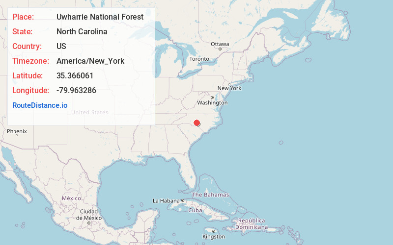
Static map view of Uwharrie National Forest, North Carolina
Browse Places by Distance
Places within specific distances from Uwharrie National Forest
Short Distances
Long Distances
Click any distance to see all places within that range from Uwharrie National Forest. Distances shown in miles (1 mile ≈ 1.61 kilometers).