Distance to Vail Mills, New York

Calculating Your Route
Just a moment while we process your request...
Location Information
-
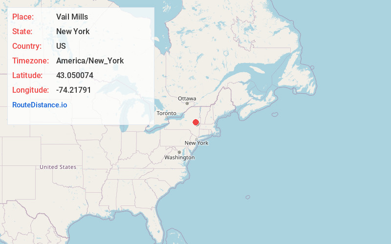
Full AddressVail Mills, NY 12025
-
Coordinates43.0500735, -74.21791
-
LocationVail Mills , New York , US
-
TimezoneAmerica/New_York
-
Current Local Time9:35:30 AM America/New_YorkSaturday, June 21, 2025
-
Page Views0
About Vail Mills
Vail Mills is a hamlet in the Town of Mayfield in Fulton County, New York, United States. It is located in the southeastern part of the town on New York State Route 30.
Nearby Places
Found 10 places within 50 miles

Broadalbin
1.2 mi
1.9 km
Broadalbin, NY
Get directions

Munsonville
2.9 mi
4.7 km
Munsonville, Mayfield, NY 12078
Get directions
West Perth
3.7 mi
6.0 km
West Perth, Perth, NY 12095
Get directions
Riceville
4.4 mi
7.1 km
Riceville, NY 12078
Get directions

Mayfield
4.4 mi
7.1 km
Mayfield, NY
Get directions
Dennies Crossing
4.9 mi
7.9 km
Dennies Crossing, Johnstown, NY 12078
Get directions
Union Mills
5.1 mi
8.2 km
Union Mills, NY 12025
Get directions
Dennies Hollow
5.6 mi
9.0 km
Dennies Hollow, Mayfield, NY 12117
Get directions
Benedict
6.0 mi
9.7 km
Benedict, Broadalbin, NY 12025
Get directions
Hoeseville
6.1 mi
9.8 km
Hoeseville, Broadalbin, NY 12025
Get directions
Location Links
Local Weather
Weather Information
Coming soon!
Location Map
Static map view of Vail Mills, New York
Browse Places by Distance
Places within specific distances from Vail Mills
Short Distances
Long Distances
Click any distance to see all places within that range from Vail Mills. Distances shown in miles (1 mile ≈ 1.61 kilometers).