Distance to Vale, South Dakota

Calculating Your Route
Just a moment while we process your request...
Location Information
-
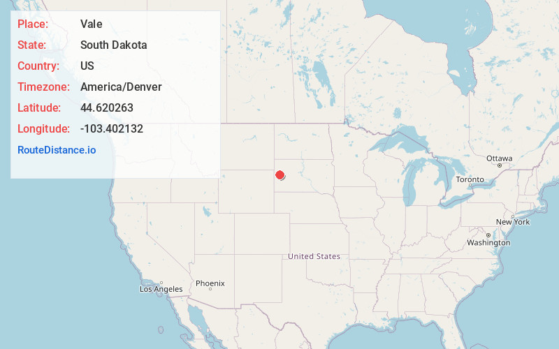
Full AddressVale, SD 57788
-
Coordinates44.6202633, -103.4021316
-
LocationVale , South Dakota , US
-
TimezoneAmerica/Denver
-
Current Local Time3:56:28 AM America/DenverWednesday, June 18, 2025
-
Page Views0
About Vale
Vale is an unincorporated community and census-designated place in Butte County, South Dakota, United States. According to the 2020 census, the population was 130. Vale has been assigned the ZIP code of 57788. The public school located in Vale, whose mascot was The Beet Diggers, closed in 1982.
Nearby Places
Found 10 places within 50 miles

Newell
6.6 mi
10.6 km
Newell, SD 57760
Get directions

Nisland
8.3 mi
13.4 km
Nisland, SD 57762
Get directions
Fruitdale
14.9 mi
24.0 km
Fruitdale, SD 57717
Get directions

Sturgis
15.5 mi
24.9 km
Sturgis, SD 57785
Get directions

Whitewood
16.0 mi
25.7 km
Whitewood, SD 57793
Get directions
Crook City
16.8 mi
27.0 km
Crook City, SD 57793
Get directions

Belle Fourche
22.4 mi
36.0 km
Belle Fourche, SD 57717
Get directions

Deadwood
23.3 mi
37.5 km
Deadwood, SD
Get directions

Spearfish
24.2 mi
38.9 km
Spearfish, SD
Get directions
Central City
25.3 mi
40.7 km
Central City, SD 57754
Get directions
Location Links
Local Weather
Weather Information
Coming soon!
Location Map
Static map view of Vale, South Dakota
Browse Places by Distance
Places within specific distances from Vale
Short Distances
Long Distances
Click any distance to see all places within that range from Vale. Distances shown in miles (1 mile ≈ 1.61 kilometers).