Distance to Valeene, Indiana

Calculating Your Route
Just a moment while we process your request...
Location Information
-
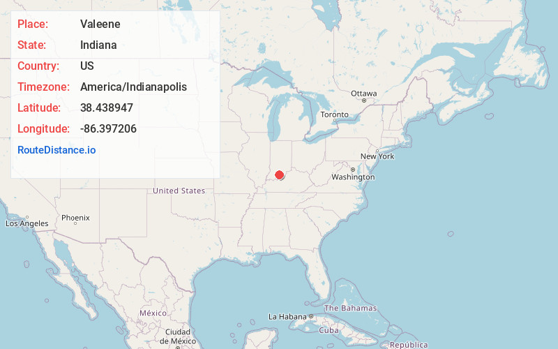
Full AddressValeene, IN 47125
-
Coordinates38.4389473, -86.3972058
-
LocationValeene , Indiana , US
-
TimezoneAmerica/Indianapolis
-
Page Views0
About Valeene
Valeene is an unincorporated community in Southeast Township, Orange County, in the U.S. state of Indiana.
Nearby Places
Found 10 places within 50 miles

Marengo
5.3 mi
8.5 km
Marengo, IN 47140
Get directions
Fargo
5.4 mi
8.7 km
Fargo, Greenfield Township, IN 47454
Get directions
Youngs Creek
5.9 mi
9.5 km
Youngs Creek, Greenfield Township, IN 47454
Get directions

Hardinsburg
6.6 mi
10.6 km
Hardinsburg, IN 47125
Get directions
Temple
6.6 mi
10.6 km
Temple, Sterling Township, IN 47118
Get directions
Hogtown
7.0 mi
11.3 km
Hogtown, IN 47140
Get directions

Orange County
7.7 mi
12.4 km
Orange County, IN
Get directions

English
8.1 mi
13.0 km
English, IN 47118
Get directions

Paoli
9.0 mi
14.5 km
Paoli, IN 47454
Get directions

Milltown
9.4 mi
15.1 km
Milltown, IN
Get directions
Location Links
Local Weather
Weather Information
Coming soon!
Location Map
Static map view of Valeene, Indiana
Browse Places by Distance
Places within specific distances from Valeene
Short Distances
Long Distances
Click any distance to see all places within that range from Valeene. Distances shown in miles (1 mile ≈ 1.61 kilometers).