Distance to Valley Chapel, West Virginia

Calculating Your Route
Just a moment while we process your request...
Location Information
-
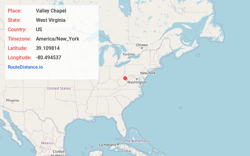
Full AddressValley Chapel, WV 26452
-
Coordinates39.1098144, -80.4945369
-
LocationValley Chapel , West Virginia , US
-
TimezoneAmerica/New_York
-
Current Local Time9:29:07 AM America/New_YorkThursday, June 12, 2025
-
Page Views0
About Valley Chapel
Valley Chapel is an unincorporated community in Lewis County, West Virginia, United States. Valley Chapel is located along County Route 10, 5.15 miles north-northwest of Weston. Valley Chapel had a post office, which closed on January 24, 1998.
The community was named after the nearby Valley Chapel church.
Nearby Places
Found 10 places within 50 miles

Jackson Mill
1.4 mi
2.3 km
Jackson Mill, WV 26452
Get directions
Butchersville
1.9 mi
3.1 km
Butchersville, WV 26452
Get directions
Freemansburg
2.3 mi
3.7 km
Freemansburg, WV 26452
Get directions
Lightburn
2.6 mi
4.2 km
Lightburn, WV 26378
Get directions
Kincheloe
2.8 mi
4.5 km
Kincheloe, WV 26378
Get directions
Turnertown
2.9 mi
4.7 km
Turnertown, WV 26452
Get directions
Sunset Acres
4.3 mi
6.9 km
Sunset Acres, WV 26452
Get directions
Waldeck
4.4 mi
7.1 km
Waldeck, WV 26452
Get directions
Weston Manor
4.4 mi
7.1 km
Weston Manor, WV 26452
Get directions
Pricetown
4.5 mi
7.2 km
Pricetown, WV 26452
Get directions
Location Links
Local Weather
Weather Information
Coming soon!
Location Map
Static map view of Valley Chapel, West Virginia
Browse Places by Distance
Places within specific distances from Valley Chapel
Short Distances
Long Distances
Click any distance to see all places within that range from Valley Chapel. Distances shown in miles (1 mile ≈ 1.61 kilometers).