Distance to Valley Falls, Oregon

Calculating Your Route
Just a moment while we process your request...
Location Information
-
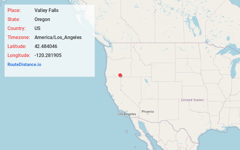
Full AddressValley Falls, OR 97630
-
Coordinates42.4840457, -120.2819049
-
LocationValley Falls , Oregon , US
-
TimezoneAmerica/Los_Angeles
-
Current Local Time4:35:11 AM America/Los_AngelesMonday, June 2, 2025
-
Page Views0
About Valley Falls
Valley Falls is a small unincorporated community in Lake County, Oregon, United States. The settled area is located at the junction of U.S. Route 395 and Oregon Route 31. The community is named for a small falls on the Chewaucan River just north of the occupied site.
Nearby Places
Found 8 places within 50 miles

Paisley
19.8 mi
31.9 km
Paisley, OR 97636
Get directions

Plush
20.0 mi
32.2 km
Plush, OR 97637
Get directions

Lakeview
20.7 mi
33.3 km
Lakeview, OR 97630
Get directions

Blaisdell
29.6 mi
47.6 km
Blaisdell, OR
Get directions
New Pine Creek
34.4 mi
55.4 km
New Pine Creek, CA 97635
Get directions
Whiskey Hills
36.1 mi
58.1 km
Whiskey Hills, Oregon 97640
Get directions

Bly
39.3 mi
63.2 km
Bly, OR 97622
Get directions

Fort Bidwell
43.6 mi
70.2 km
Fort Bidwell, CA 96112
Get directions
Location Links
Local Weather
Weather Information
Coming soon!
Location Map
Static map view of Valley Falls, Oregon
Browse Places by Distance
Places within specific distances from Valley Falls
Short Distances
Long Distances
Click any distance to see all places within that range from Valley Falls. Distances shown in miles (1 mile ≈ 1.61 kilometers).