Distance to Valley Falls, South Carolina

Calculating Your Route
Just a moment while we process your request...
Location Information
-
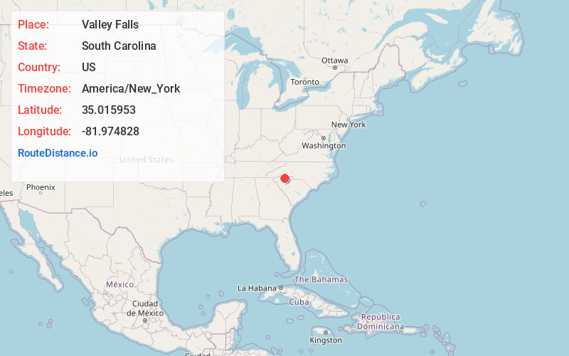
Full AddressValley Falls, SC
-
Coordinates35.0159531, -81.9748278
-
LocationValley Falls , South Carolina , US
-
TimezoneAmerica/New_York
-
Current Local Time4:30:12 AM America/New_YorkWednesday, May 21, 2025
-
Page Views0
About Valley Falls
Valley Falls is a census-designated place in Spartanburg County, South Carolina, United States. The population was 6,299 at the 2010 census.
Nearby Places
Found 10 places within 50 miles

Boiling Springs
2.1 mi
3.4 km
Boiling Springs, SC 29316
Get directions

Spartanburg
5.0 mi
8.0 km
Spartanburg, SC
Get directions

Greer
15.2 mi
24.5 km
Greer, SC
Get directions

Gaffney
18.8 mi
30.3 km
Gaffney, SC
Get directions

Taylors
19.4 mi
31.2 km
Taylors, SC
Get directions

Five Forks
20.5 mi
33.0 km
Five Forks, SC
Get directions

Wade Hampton
21.7 mi
34.9 km
Wade Hampton, SC
Get directions

Forest City
22.8 mi
36.7 km
Forest City, NC 28043
Get directions

Simpsonville
24.9 mi
40.1 km
Simpsonville, SC
Get directions

Mauldin
25.1 mi
40.4 km
Mauldin, SC
Get directions
Location Links
Local Weather
Weather Information
Coming soon!
Location Map
Static map view of Valley Falls, South Carolina
Browse Places by Distance
Places within specific distances from Valley Falls
Short Distances
Long Distances
Click any distance to see all places within that range from Valley Falls. Distances shown in miles (1 mile ≈ 1.61 kilometers).