Distance to Van Zandt, Washington

Calculating Your Route
Just a moment while we process your request...
Location Information
-
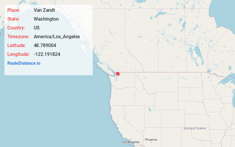
Full AddressVan Zandt, WA 98244
-
Coordinates48.7890042, -122.1918238
-
LocationVan Zandt , Washington , US
-
TimezoneAmerica/Los_Angeles
-
Current Local Time10:53:32 AM America/Los_AngelesTuesday, June 24, 2025
-
Page Views0
About Van Zandt
Van Zandt is an unincorporated community in Whatcom County, in the U.S. state of Washington. There is a community hall, a park, a cemetery, a volunteer firehouse, and a church located there. The community is rural, with most residents working in agriculture or lumber.


Nearby Places
Found 10 places within 50 miles

Deming
2.8 mi
4.5 km
Deming, WA
Get directions

Acme
5.0 mi
8.0 km
Acme, WA
Get directions

Saxon
7.0 mi
11.3 km
Saxon, WA 98220
Get directions
Agate Bay
7.8 mi
12.6 km
Agate Bay, WA 98226
Get directions

Sudden Valley
8.4 mi
13.5 km
Sudden Valley, WA 98229
Get directions
Wahl
8.5 mi
13.7 km
Wahl, WA 98226
Get directions

Kendall
9.2 mi
14.8 km
Kendall, WA
Get directions
Geneva
10.0 mi
16.1 km
Geneva, WA 98229
Get directions

Maple Falls
10.7 mi
17.2 km
Maple Falls, WA
Get directions
Peaceful Valley
11.0 mi
17.7 km
Peaceful Valley, WA 98266
Get directions
Location Links
Local Weather
Weather Information
Coming soon!
Location Map
Static map view of Van Zandt, Washington
Browse Places by Distance
Places within specific distances from Van Zandt
Short Distances
Long Distances
Click any distance to see all places within that range from Van Zandt. Distances shown in miles (1 mile ≈ 1.61 kilometers).