Distance to Vandalia, Montana

Calculating Your Route
Just a moment while we process your request...
Location Information
-
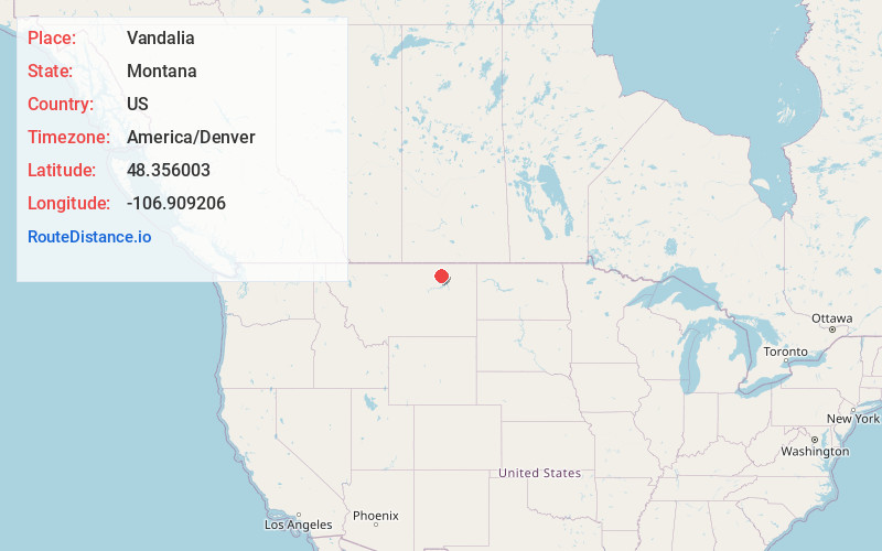
Full AddressVandalia, MT 59273
-
Coordinates48.3560033, -106.9092056
-
LocationVandalia , Montana , US
-
TimezoneAmerica/Denver
-
Current Local Time4:37:53 PM America/DenverFriday, June 20, 2025
-
Page Views0
About Vandalia
Vandalia is a small unincorporated community in Valley County, Montana, United States. It was established in 1904 with a post office and a store along the Hi-Line of the Great Northern Railway. The community's chief industry was the manufacture of bricks that were used in public buildings across Montana.

Nearby Places
Found 10 places within 50 miles

Hinsdale
8.5 mi
13.7 km
Hinsdale, MT 59241
Get directions

Glasgow
16.7 mi
26.9 km
Glasgow, MT 59230
Get directions

St Marie
17.6 mi
28.3 km
St Marie, MT
Get directions

Saco
21.1 mi
34.0 km
Saco, MT 59261
Get directions
Sleeping Buffalo
29.8 mi
48.0 km
Sleeping Buffalo, MT 59261
Get directions
Nashua
29.8 mi
48.0 km
Nashua, MT 59248
Get directions
Park Grove
31.0 mi
49.9 km
Park Grove, MT 59248
Get directions

Fort Peck
32.0 mi
51.5 km
Fort Peck, MT 59248
Get directions
East Malta Colony
32.1 mi
51.7 km
East Malta Colony, MT 59538
Get directions
Tattnall
34.5 mi
55.5 km
Tattnall, MT 59544
Get directions
Location Links
Local Weather
Weather Information
Coming soon!
Location Map
Static map view of Vandalia, Montana
Browse Places by Distance
Places within specific distances from Vandalia
Short Distances
Long Distances
Click any distance to see all places within that range from Vandalia. Distances shown in miles (1 mile ≈ 1.61 kilometers).