Distance to Vanderpool, Texas

Calculating Your Route
Just a moment while we process your request...
Location Information
-
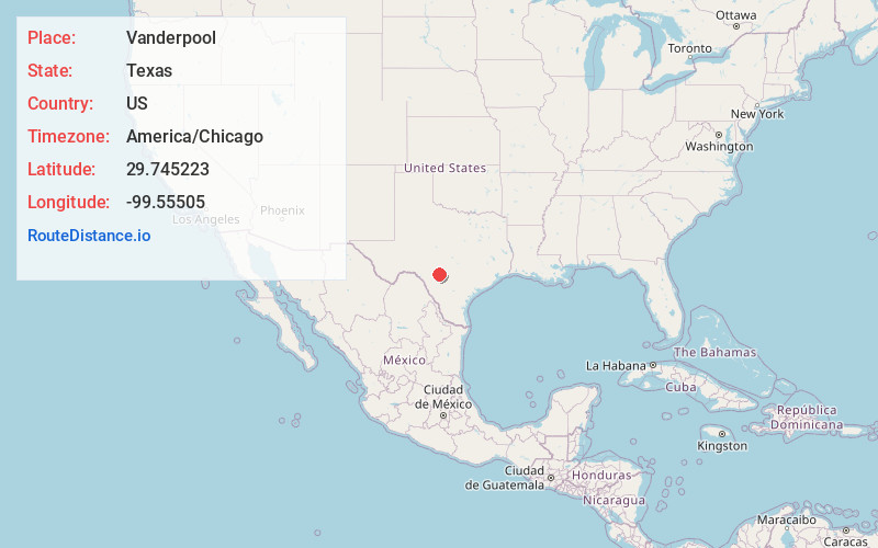
Full AddressVanderpool, TX 78885
-
Coordinates29.7452234, -99.5550504
-
LocationVanderpool , Texas , US
-
TimezoneAmerica/Chicago
-
Current Local Time12:40:24 PM America/ChicagoMonday, June 30, 2025
-
Page Views0
About Vanderpool
Vanderpool is a small unincorporated community in Bandera County in the Texas Hill Country, United States, which is part of the Edwards Plateau. It is considered part of the San Antonio Metropolitan Statistical Area. Although it is unincorporated, Vanderpool has a post office, with the ZIP code of 78885.


Nearby Places
Found 10 places within 50 miles

Utopia
9.1 mi
14.6 km
Utopia, TX 78884
Get directions

Leakey
12.4 mi
20.0 km
Leakey, TX 78873
Get directions

Rio Frio
13.3 mi
21.4 km
Rio Frio, TX 78879
Get directions

Medina
18.7 mi
30.1 km
Medina, TX 78055
Get directions

Reagan Wells
22.1 mi
35.6 km
Reagan Wells, TX 78801
Get directions

Camp Wood
27.9 mi
44.9 km
Camp Wood, TX 78833
Get directions

Barksdale
28.9 mi
46.5 km
Barksdale, TX
Get directions

Bandera
28.9 mi
46.5 km
Bandera, TX 78003
Get directions

Ingram
29.7 mi
47.8 km
Ingram, TX
Get directions

Sabinal
30.0 mi
48.3 km
Sabinal, TX 78881
Get directions
Location Links
Local Weather
Weather Information
Coming soon!
Location Map
Static map view of Vanderpool, Texas
Browse Places by Distance
Places within specific distances from Vanderpool
Short Distances
Long Distances
Click any distance to see all places within that range from Vanderpool. Distances shown in miles (1 mile ≈ 1.61 kilometers).