Distance to Vandling, Pennsylvania

Calculating Your Route
Just a moment while we process your request...
Location Information
-
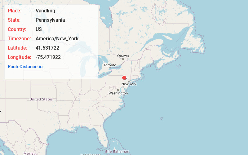
Full AddressVandling, PA
-
Coordinates41.6317222, -75.471922
-
LocationVandling , Pennsylvania , US
-
TimezoneAmerica/New_York
-
Current Local Time10:57:47 PM America/New_YorkFriday, May 23, 2025
-
Page Views0
About Vandling
Vandling is a borough in the northeastern corner of Lackawanna County, Pennsylvania, United States. The population was 730 at the 2020 census. It is located immediately south of Forest City, which is in Susquehanna County.
Nearby Places
Found 10 places within 50 miles

Forest City
1.4 mi
2.3 km
Forest City, PA 18421
Get directions

Simpson
2.8 mi
4.5 km
Simpson, PA 18407
Get directions

Carbondale
4.3 mi
6.9 km
Carbondale, PA 18407
Get directions

Waymart
4.8 mi
7.7 km
Waymart, PA 18472
Get directions
Clifford Township
6.0 mi
9.7 km
Clifford Township, PA
Get directions
Greenfield Township
6.1 mi
9.8 km
Greenfield Township, PA
Get directions

Mayfield
7.3 mi
11.7 km
Mayfield, PA
Get directions
Jermyn
7.9 mi
12.7 km
Jermyn, PA 18433
Get directions

South Canaan Township
8.4 mi
13.5 km
South Canaan Township, PA
Get directions
Scott
9.3 mi
15.0 km
Scott, PA 18447
Get directions
Location Links
Local Weather
Weather Information
Coming soon!
Location Map
Static map view of Vandling, Pennsylvania
Browse Places by Distance
Places within specific distances from Vandling
Short Distances
Long Distances
Click any distance to see all places within that range from Vandling. Distances shown in miles (1 mile ≈ 1.61 kilometers).