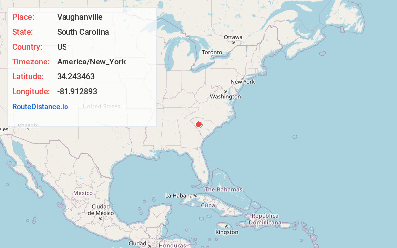
Distance to Vaughanville, South Carolina

Calculating Your Route
Just a moment while we process your request...
Location Information
-
Full AddressVaughanville, SC 29037
-
Coordinates34.2434633, -81.9128926
-
LocationSouth Carolina , US
-
TimezoneAmerica/New_York
-
Current Local Time9:17:54 PM America/New_YorkSunday, June 1, 2025
-
Page Views0
Nearby Places
Found 10 places within 50 miles

Mudlick
3.1 mi
5.0 km
Mudlick, SC 29037
Get directions

Chappells
5.1 mi
8.2 km
Chappells, SC 29037
Get directions
White Plains Crossroad
5.7 mi
9.2 km
White Plains Crossroad, SC 29370
Get directions

Cross Hill
5.8 mi
9.3 km
Cross Hill, SC 29332
Get directions
Godsey
6.0 mi
9.7 km
Godsey, SC 29666
Get directions
Milton
7.6 mi
12.2 km
Milton, SC 29370
Get directions

Ninety Six
7.9 mi
12.7 km
Ninety Six, SC 29666
Get directions

Mountville
8.8 mi
14.2 km
Mountville, SC 29370
Get directions

Coronaca
10.4 mi
16.7 km
Coronaca, SC 29649
Get directions
Chapmans Crossroads
10.8 mi
17.4 km
Chapmans Crossroads, SC 29138
Get directions
Location Links
Local Weather
Weather Information
Coming soon!
Location Map
Static map view of Vaughanville, South Carolina
Browse Places by Distance
Places within specific distances from Vaughanville
Short Distances
Long Distances
Click any distance to see all places within that range from Vaughanville. Distances shown in miles (1 mile ≈ 1.61 kilometers).