Distance to Velpen, Indiana

Calculating Your Route
Just a moment while we process your request...
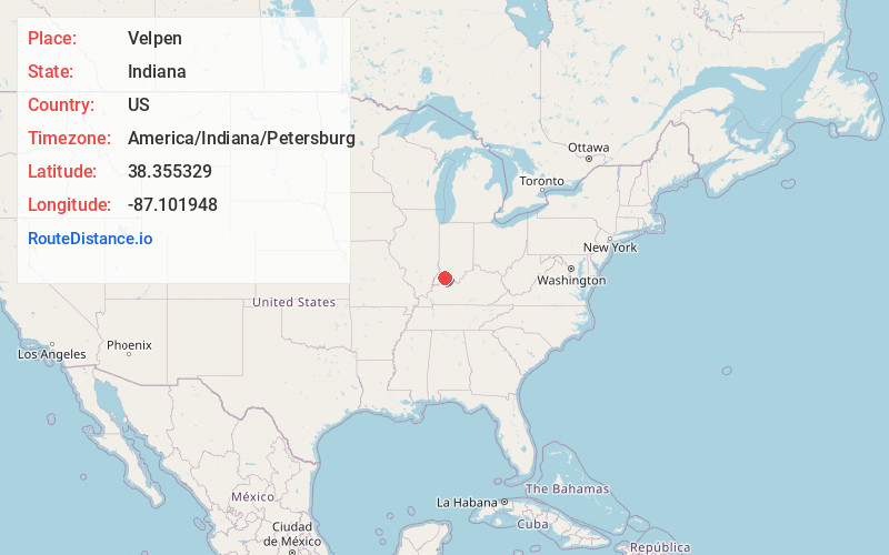
Location Information
-
Full AddressVelpen, IN
-
Coordinates38.3553289, -87.1019481
-
LocationVelpen , Indiana , US
-
TimezoneAmerica/Indiana/Petersburg
-
Current Local Time11:58:04 AM America/Indiana/PetersburgThursday, June 19, 2025
-
Page Views0
About Velpen
Velpen is an census-designated place in southeastern Marion Township, Pike County, in the U.S. state of Indiana. It lies along State Road 257 southeast of the city of Petersburg, the county seat of Pike County. Although Velpen is unincorporated, it has a post office, with the ZIP code of 47590.
Nearby Places
Found 10 places within 50 miles

Winslow
6.3 mi
10.1 km
Winslow, IN 47598
Get directions

Stendal
6.5 mi
10.5 km
Stendal, IN 47585
Get directions
Otwell
6.9 mi
11.1 km
Otwell, IN 47564
Get directions

Ireland
6.9 mi
11.1 km
Ireland, IN 47546
Get directions

Arthur
7.9 mi
12.7 km
Arthur, IN 47598
Get directions
Holland
8.4 mi
13.5 km
Holland, IN 47541
Get directions

Huntingburg
8.9 mi
14.3 km
Huntingburg, IN 47542
Get directions

Jasper
9.6 mi
15.4 km
Jasper, IN
Get directions

Spurgeon
11.0 mi
17.7 km
Spurgeon, IN
Get directions
Glezen
11.6 mi
18.7 km
Glezen, IN 47567
Get directions
Location Links
Local Weather
Weather Information
Coming soon!
Location Map
Static map view of Velpen, Indiana
Browse Places by Distance
Places within specific distances from Velpen
Short Distances
Long Distances
Click any distance to see all places within that range from Velpen. Distances shown in miles (1 mile ≈ 1.61 kilometers).