Distance to Velva, North Dakota

Calculating Your Route
Just a moment while we process your request...
Location Information
-
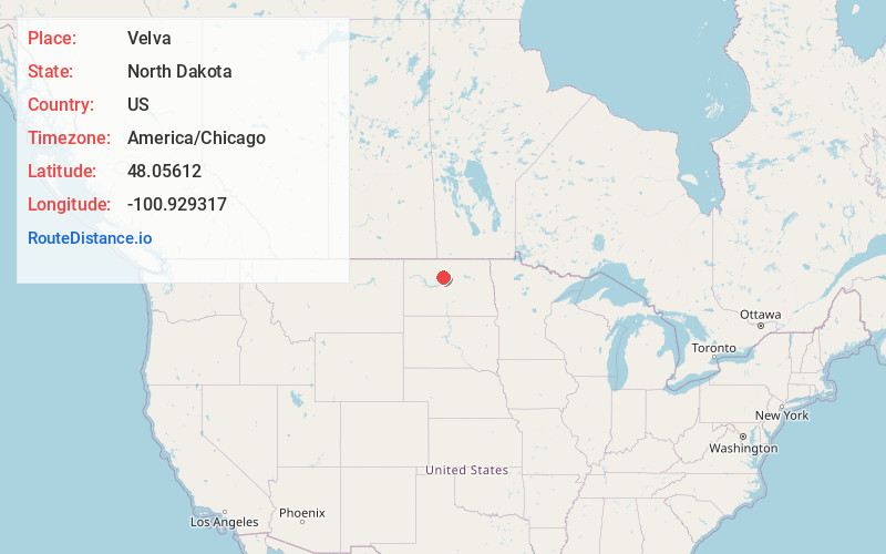
Full AddressVelva, ND 58790
-
Coordinates48.0561196, -100.929317
-
LocationVelva , North Dakota , US
-
TimezoneAmerica/Chicago
-
Current Local Time9:14:15 PM America/ChicagoThursday, June 19, 2025
-
Website
-
Page Views0
About Velva
Velva is a city in McHenry County, North Dakota, United States. Part of the Minot Micropolitan Statistical Area, it was founded in 1897 and the population was 1,086 at the 2020 census. Southeast of Minot, Velva is at the southernmost point of the Souris River.

Nearby Places
Found 6 places within 50 miles

Surrey
15.6 mi
25.1 km
Surrey, ND
Get directions

Minot
20.7 mi
33.3 km
Minot, ND
Get directions

Burlington
27.6 mi
44.4 km
Burlington, ND
Get directions

Minot Air Force Base
31.1 mi
50.1 km
Minot Air Force Base, ND
Get directions

Garrison
35.9 mi
57.8 km
Garrison, ND 58540
Get directions

Rugby
48.1 mi
77.4 km
Rugby, ND 58368
Get directions
Location Links
Local Weather
Weather Information
Coming soon!
Location Map
Static map view of Velva, North Dakota
Browse Places by Distance
Places within specific distances from Velva
Short Distances
Long Distances
Click any distance to see all places within that range from Velva. Distances shown in miles (1 mile ≈ 1.61 kilometers).