Distance to Venado, California

Calculating Your Route
Just a moment while we process your request...
Location Information
-
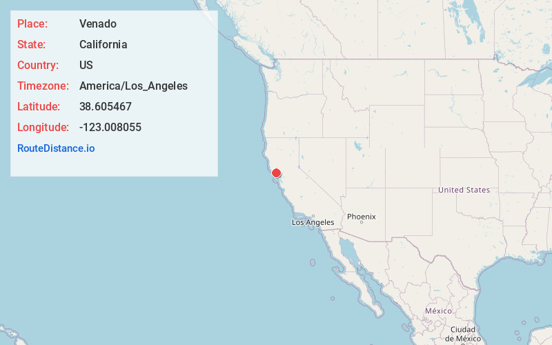
Full AddressVenado, CA 95448
-
Coordinates38.6054673, -123.0080554
-
LocationVenado , California , US
-
TimezoneAmerica/Los_Angeles
-
Current Local Time8:23:52 AM America/Los_AngelesSunday, June 1, 2025
-
Page Views0
About Venado
Venado is an unincorporated community in Sonoma County, California, United States, and is located about 12 miles west of Healdsburg, along Mill Creek Road, below the north slope of Knoll Ridge, on the south bank of Gray Creek, at an elevation of 1,102 feet. The community had a post office from 1921 to 1941.
Nearby Places
Found 10 places within 50 miles

Korbel
7.2 mi
11.6 km
Korbel, CA 95436
Get directions

Guerneville
7.2 mi
11.6 km
Guerneville, CA 95446
Get directions

Healdsburg
7.5 mi
12.1 km
Healdsburg, CA 95448
Get directions
Highcroft
8.0 mi
12.9 km
Highcroft, CA 95436
Get directions
Noel Heights
8.1 mi
13.0 km
Noel Heights, CA 95446
Get directions

Forest Hills
8.1 mi
13.0 km
Forest Hills, CA 95436
Get directions

Lytton
8.3 mi
13.4 km
Lytton, CA 95448
Get directions
Bailhache
8.3 mi
13.4 km
Bailhache, CA 95448
Get directions
Summerhome Park
8.4 mi
13.5 km
Summerhome Park, CA 95436
Get directions
Mt Jackson
8.5 mi
13.7 km
Mt Jackson, CA 95448
Get directions
Location Links
Local Weather
Weather Information
Coming soon!
Location Map
Static map view of Venado, California
Browse Places by Distance
Places within specific distances from Venado
Short Distances
Long Distances
Click any distance to see all places within that range from Venado. Distances shown in miles (1 mile ≈ 1.61 kilometers).