Distance to Verbank, New York

Calculating Your Route
Just a moment while we process your request...
Location Information
-
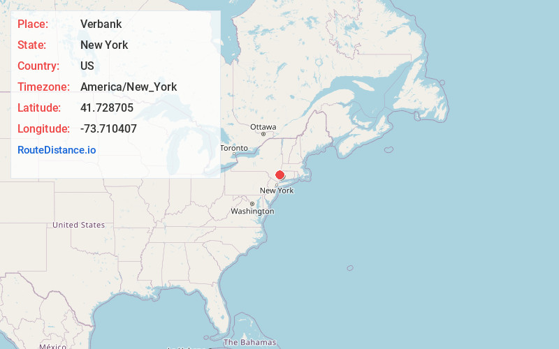
Full AddressVerbank, NY 12585
-
Coordinates41.7287051, -73.710407
-
LocationVerbank , New York , US
-
TimezoneAmerica/New_York
-
Current Local Time10:04:53 AM America/New_YorkThursday, June 5, 2025
-
Page Views0
About Verbank
Verbank is a hamlet in the town of Union Vale in Dutchess County, New York, United States. Verbank is served by a post office with the ZIP code of 12585; the ZCTA for ZIP Code 12585 had a population of 956 at the 2000 census.
Nearby Places
Found 10 places within 50 miles

Verbank Village
0.9 mi
1.4 km
Verbank Village, Union Vale, NY 12585
Get directions
Millbrook Heights
2.6 mi
4.2 km
Millbrook Heights, Washington, NY 12545
Get directions
Moores Mill
2.6 mi
4.2 km
Moores Mill, LaGrange, NY 12569
Get directions
South Millbrook
3.2 mi
5.1 km
South Millbrook, Washington, NY 12545
Get directions

Millbrook
4.0 mi
6.4 km
Millbrook, NY 12545
Get directions
Union Vale
4.3 mi
6.9 km
Union Vale, NY
Get directions

Pleasant Valley
5.8 mi
9.3 km
Pleasant Valley, NY 12569
Get directions
Freedom Plains
6.0 mi
9.7 km
Freedom Plains, NY
Get directions

Lagrangeville
6.1 mi
9.8 km
Lagrangeville, NY 12540
Get directions
Salt Point
6.9 mi
11.1 km
Salt Point, NY 12578
Get directions
Location Links
Local Weather
Weather Information
Coming soon!
Location Map
Static map view of Verbank, New York
Browse Places by Distance
Places within specific distances from Verbank
Short Distances
Long Distances
Click any distance to see all places within that range from Verbank. Distances shown in miles (1 mile ≈ 1.61 kilometers).