Distance to Vernonia, Oregon

Calculating Your Route
Just a moment while we process your request...
Location Information
-
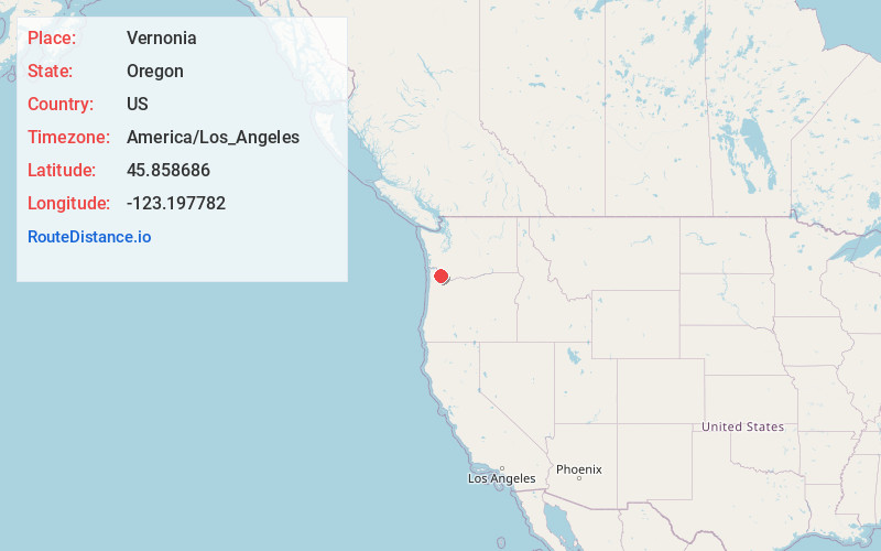
Full AddressVernonia, OR 97064
-
Coordinates45.8586855, -123.197782
-
LocationVernonia , Oregon , US
-
TimezoneAmerica/Los_Angeles
-
Current Local Time7:35:41 PM America/Los_AngelesSaturday, May 31, 2025
-
Website
-
Page Views0
About Vernonia
Vernonia is a city in Columbia County, Oregon, United States. It is located on the Nehalem River, in a valley on the eastern side of the Northern Oregon Coast Range that is the heart of one of the most important timber-producing areas of the state. Logging has played a large role in the history of the city.


Nearby Places
Found 10 places within 50 miles

Scappoose
16.9 mi
27.2 km
Scappoose, OR 97056
Get directions

St Helens
18.1 mi
29.1 km
St Helens, OR
Get directions

Kalama
19.9 mi
32.0 km
Kalama, WA
Get directions

North Plains
20.4 mi
32.8 km
North Plains, OR 97133
Get directions

Woodland
22.1 mi
35.6 km
Woodland, WA 98674
Get directions

Longview
23.0 mi
37.0 km
Longview, WA
Get directions

Forest Grove
23.8 mi
38.3 km
Forest Grove, OR 97116
Get directions

Cornelius
24.3 mi
39.1 km
Cornelius, OR
Get directions

Kelso
24.3 mi
39.1 km
Kelso, WA
Get directions

Ridgefield
24.6 mi
39.6 km
Ridgefield, WA 98642
Get directions
Location Links
Local Weather
Weather Information
Coming soon!
Location Map
Static map view of Vernonia, Oregon
Browse Places by Distance
Places within specific distances from Vernonia
Short Distances
Long Distances
Click any distance to see all places within that range from Vernonia. Distances shown in miles (1 mile ≈ 1.61 kilometers).