Distance to Verona Mills, New York

Calculating Your Route
Just a moment while we process your request...
Location Information
-
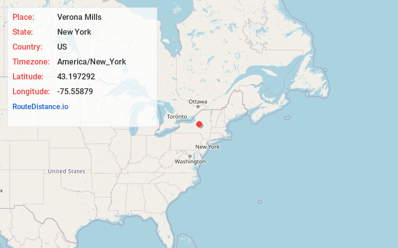
Full AddressVerona Mills, Verona, NY 13440
-
Coordinates43.1972915, -75.5587898
-
LocationVerona , New York , US
-
TimezoneAmerica/New_York
-
Current Local Time9:35:01 AM America/New_YorkSunday, June 1, 2025
-
Page Views0
About Verona Mills
Verona Mills is a hamlet in Oneida County, New York, United States. On April 26, 2011, a tornado with 100 mph winds associated with the 2011 Super Outbreak hit a wooded area near Verona Mills, near New York State Route 49, uprooting trees and snapping a power pole before replacing it.
Nearby Places
Found 10 places within 50 miles

Stacy Basin
3.2 mi
5.1 km
Stacy Basin, NY 13054
Get directions
Lee
5.6 mi
9.0 km
Lee, NY 13471
Get directions

Durhamville
7.6 mi
12.2 km
Durhamville, NY
Get directions
West Lee
7.8 mi
12.6 km
West Lee, NY 13471
Get directions
Lake Delta
7.9 mi
12.7 km
Lake Delta, NY
Get directions

Sylvan Beach
8.6 mi
13.8 km
Sylvan Beach, NY
Get directions
Sherrill
8.8 mi
14.2 km
Sherrill, NY
Get directions
Oneida Castle
8.8 mi
14.2 km
Oneida Castle, NY 13421
Get directions
Westmoreland
9.6 mi
15.4 km
Westmoreland, NY
Get directions
Oneida Lake Beach East
10.6 mi
17.1 km
Oneida Lake Beach East, Lenox, NY 13032
Get directions
Location Links
Local Weather
Weather Information
Coming soon!
Location Map
Static map view of Verona Mills, New York
Browse Places by Distance
Places within specific distances from Verona Mills
Short Distances
Long Distances
Click any distance to see all places within that range from Verona Mills. Distances shown in miles (1 mile ≈ 1.61 kilometers).