Distance to Vineland, Florida

Calculating Your Route
Just a moment while we process your request...
Location Information
-
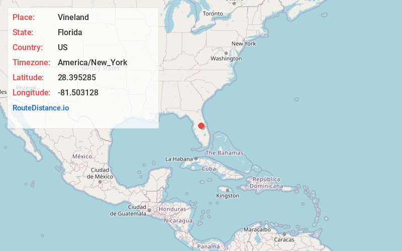
Full AddressVineland, FL 32836
-
Coordinates28.3952854, -81.5031281
-
LocationFlorida , US
-
TimezoneAmerica/New_York
-
Current Local Time3:50:35 AM America/New_YorkWednesday, June 18, 2025
-
Page Views0
About Vineland
Vineland is an unincorporated community in southwest Orange County, Florida, United States, located just north of Interstate 4 along State Road 535 and continues along County Road 435, which is South Apopka Vineland Road.
Nearby Places
Found 10 places within 50 miles

Williamsburg
3.6 mi
5.8 km
Williamsburg, FL 32821
Get directions

Doctor Phillips
3.8 mi
6.1 km
Doctor Phillips, FL
Get directions

Bay Lake
3.8 mi
6.1 km
Bay Lake, FL
Get directions

Bay Hill
5.1 mi
8.2 km
Bay Hill, FL
Get directions

Tangelo Park
5.4 mi
8.7 km
Tangelo Park, FL 32819
Get directions

Hunters Creek
5.5 mi
8.9 km
Hunters Creek, FL 32837
Get directions

Celebration
5.8 mi
9.3 km
Celebration, FL 34747
Get directions

Oak Ridge
7.1 mi
11.4 km
Oak Ridge, FL
Get directions

Windermere
7.2 mi
11.6 km
Windermere, FL 34786
Get directions

Southchase
7.3 mi
11.7 km
Southchase, FL
Get directions
Location Links
Local Weather
Weather Information
Coming soon!
Location Map
Static map view of Vineland, Florida
Browse Places by Distance
Places within specific distances from Vineland
Short Distances
Long Distances
Click any distance to see all places within that range from Vineland. Distances shown in miles (1 mile ≈ 1.61 kilometers).