Distance to Viola, Kansas

Calculating Your Route
Just a moment while we process your request...
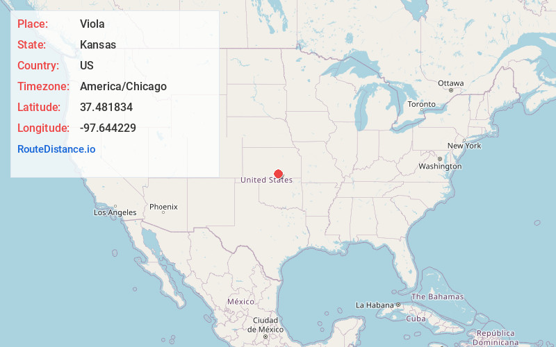
Location Information
-
Full AddressViola, KS 67149
-
Coordinates37.4818339, -97.6442291
-
LocationViola , Kansas , US
-
TimezoneAmerica/Chicago
-
Current Local Time5:46:27 PM America/ChicagoSaturday, May 31, 2025
-
Page Views0
About Viola
Viola is a city in Sedgwick County, Kansas, United States. As of the 2020 census, the population of the city was 115.
Nearby Places
Found 10 places within 50 miles

Conway Springs
6.3 mi
10.1 km
Conway Springs, KS 67031
Get directions

Clearwater
8.2 mi
13.2 km
Clearwater, KS 67026
Get directions

Norwich
11.4 mi
18.3 km
Norwich, KS 67118
Get directions

Cheney
12.5 mi
20.1 km
Cheney, KS 67025
Get directions

Garden Plain
12.7 mi
20.4 km
Garden Plain, KS 67050
Get directions

Goddard
13.2 mi
21.2 km
Goddard, KS 67052
Get directions

Argonia
16.3 mi
26.2 km
Argonia, KS 67004
Get directions

Haysville
17.0 mi
27.4 km
Haysville, KS
Get directions

Belle Plaine
20.8 mi
33.5 km
Belle Plaine, KS 67013
Get directions

Derby
21.0 mi
33.8 km
Derby, KS 67037
Get directions
Location Links
Local Weather
Weather Information
Coming soon!
Location Map
Static map view of Viola, Kansas
Browse Places by Distance
Places within specific distances from Viola
Short Distances
Long Distances
Click any distance to see all places within that range from Viola. Distances shown in miles (1 mile ≈ 1.61 kilometers).