Distance to Virginia Key, Florida

Calculating Your Route
Just a moment while we process your request...
Location Information
-
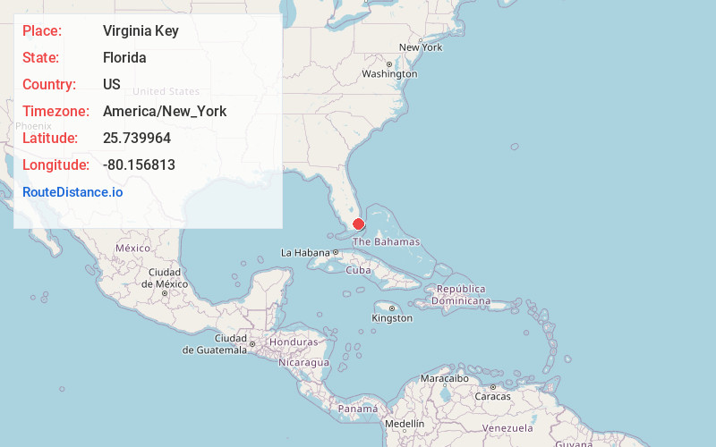
Full AddressVirginia Key, Florida
-
Coordinates25.7399644, -80.1568134
-
LocationFlorida , US
-
TimezoneAmerica/New_York
-
Current Local Time5:22:02 AM America/New_YorkWednesday, June 18, 2025
-
Page Views0
About Virginia Key
This 863-acre barrier island accessible via a causeway features an oceanarium, a beach park & more.


Nearby Places
Found 10 places within 50 miles

Fisher Island
1.7 mi
2.7 km
Fisher Island, FL 33109
Get directions

Miami
2.6 mi
4.2 km
Miami, FL
Get directions

Key Biscayne
3.2 mi
5.1 km
Key Biscayne, FL 33149
Get directions

Miami Beach
3.9 mi
6.3 km
Miami Beach, FL
Get directions

Biscayne Bay
6.3 mi
10.1 km
Biscayne Bay, Florida
Get directions

Coral Gables
6.7 mi
10.8 km
Coral Gables, FL
Get directions

North Bay Village
7.3 mi
11.7 km
North Bay Village, FL 33141
Get directions

Brownsville
7.8 mi
12.6 km
Brownsville, FL 33142
Get directions

Glenwood Heights
8.0 mi
12.9 km
Glenwood Heights, Brownsville, FL 33142
Get directions

El Portal
8.3 mi
13.4 km
El Portal, FL
Get directions
Location Links
Local Weather
Weather Information
Coming soon!
Location Map
Static map view of Virginia Key, Florida
Browse Places by Distance
Places within specific distances from Virginia Key
Short Distances
Long Distances
Click any distance to see all places within that range from Virginia Key. Distances shown in miles (1 mile ≈ 1.61 kilometers).