Distance to Wabeno, Wisconsin

Calculating Your Route
Just a moment while we process your request...
Location Information
-
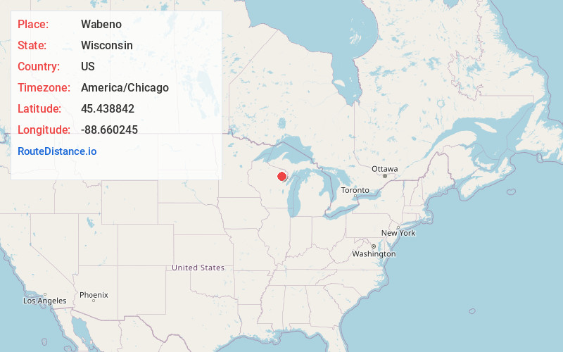
Full AddressWabeno, WI 54566
-
Coordinates45.4388418, -88.6602453
-
LocationWabeno , Wisconsin , US
-
TimezoneAmerica/Chicago
-
Current Local Time5:25:25 PM America/ChicagoWednesday, July 2, 2025
-
Page Views0
About Wabeno
Wabeno is a town in Forest County, Wisconsin, United States. The population was 1,166 at the 2010 census. The census-designated place of Wabeno and the unincorporated communities of Carter, Padus, and Soperton are located in the town. Wabeno is situated within Wisconsin's 7th congressional district.


Nearby Places
Found 10 places within 50 miles

Laona
8.7 mi
14.0 km
Laona, WI 54541
Get directions

Lakewood
11.6 mi
18.7 km
Lakewood, WI 54138
Get directions

Crandon
14.9 mi
24.0 km
Crandon, WI 54520
Get directions

Mole Lake
15.9 mi
25.6 km
Mole Lake, WI 54520
Get directions

Mountain
19.8 mi
31.9 km
Mountain, WI 54149
Get directions

White Lake
20.1 mi
32.3 km
White Lake, WI 54491
Get directions

Post Lake
20.4 mi
32.8 km
Post Lake, WI 54428
Get directions

Antigo
31.6 mi
50.9 km
Antigo, WI 54409
Get directions

Neopit
32.7 mi
52.6 km
Neopit, WI 54150
Get directions

Suring
33.5 mi
53.9 km
Suring, WI
Get directions
Location Links
Local Weather
Weather Information
Coming soon!
Location Map
Static map view of Wabeno, Wisconsin
Browse Places by Distance
Places within specific distances from Wabeno
Short Distances
Long Distances
Click any distance to see all places within that range from Wabeno. Distances shown in miles (1 mile ≈ 1.61 kilometers).