Distance to Waco, Ohio

Calculating Your Route
Just a moment while we process your request...
Location Information
-
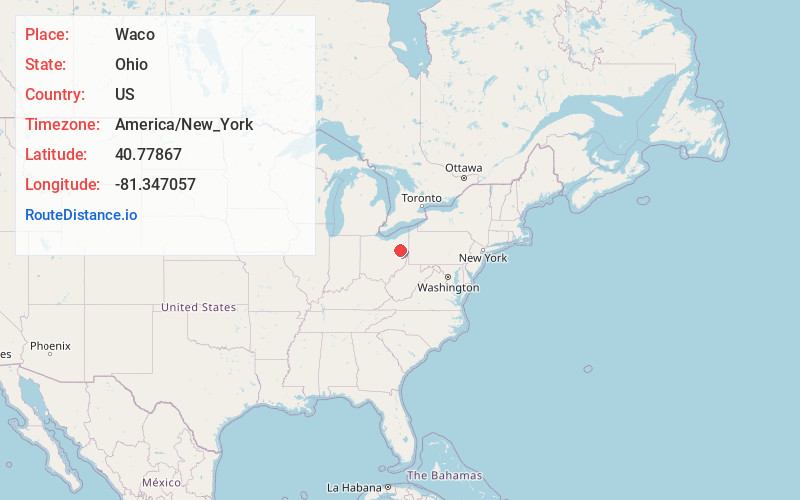
Full AddressWaco, OH 44707
-
Coordinates40.7786698, -81.3470571
-
LocationWaco , Ohio , US
-
TimezoneAmerica/New_York
-
Current Local Time11:32:59 PM America/New_YorkThursday, June 19, 2025
-
Page Views0
About Waco
Waco is an unincorporated community in central Canton Township, Stark County, Ohio, United States. It lies along State Route 43 just southeast of the Canton city line. Waco's altitude is 1,070 feet. The community is part of the Canton–Massillon Metropolitan Statistical Area.
Nearby Places
Found 10 places within 50 miles

Canton
2.0 mi
3.2 km
Canton, OH
Get directions

North Industry
2.9 mi
4.7 km
North Industry, OH
Get directions

East Canton
3.4 mi
5.5 km
East Canton, OH 44730
Get directions
Pleasant View
3.6 mi
5.8 km
Pleasant View, Plain Township, OH 44705
Get directions
Gambrinus
3.8 mi
6.1 km
Gambrinus, Canton Township, OH 44706
Get directions
Banker Heights
4.0 mi
6.4 km
Banker Heights, Canton Township, OH 44706
Get directions
Fairhope
4.3 mi
6.9 km
Fairhope, OH 44641
Get directions

Meyers Lake
4.3 mi
6.9 km
Meyers Lake, OH 44708
Get directions
Edgefield
4.7 mi
7.6 km
Edgefield, Canton, OH 44709
Get directions
Reedurban
4.8 mi
7.7 km
Reedurban, OH
Get directions
Location Links
Local Weather
Weather Information
Coming soon!
Location Map
Static map view of Waco, Ohio
Browse Places by Distance
Places within specific distances from Waco
Short Distances
Long Distances
Click any distance to see all places within that range from Waco. Distances shown in miles (1 mile ≈ 1.61 kilometers).