Distance to Waddams Grove, Illinois

Calculating Your Route
Just a moment while we process your request...
Location Information
-
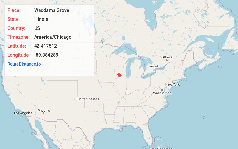
Full AddressWaddams Grove, IL 61048
-
Coordinates42.4175117, -89.8842887
-
LocationWaddams Grove , Illinois , US
-
TimezoneAmerica/Chicago
-
Current Local Time10:01:05 PM America/ChicagoThursday, May 29, 2025
-
Page Views0
About Waddams Grove
Waddams Grove, previously known as Wadam's, Waddam's Grove, and Sada, is an unincorporated community in the Stephenson County township of West Point, Illinois, United States. Waddams Grove was the first settlement in Stephenson County. It is located northwest of Lena.

Nearby Places
Found 10 places within 50 miles

Nora
4.1 mi
6.6 km
Nora, IL
Get directions

Lena
4.1 mi
6.6 km
Lena, IL 61048
Get directions

Winslow
7.0 mi
11.3 km
Winslow, IL 61089
Get directions
Martintown
7.6 mi
12.2 km
Martintown, Cadiz, WI 53522
Get directions

Warren
7.6 mi
12.2 km
Warren, IL 61087
Get directions

Stockton
7.8 mi
12.6 km
Stockton, IL 61085
Get directions

McConnell
7.9 mi
12.7 km
McConnell, IL 61050
Get directions
Millville
8.8 mi
14.2 km
Millville, Rush Township, IL 61001
Get directions
South Wayne
10.5 mi
16.9 km
South Wayne, WI 53587
Get directions
Pearl City
10.9 mi
17.5 km
Pearl City, IL 61062
Get directions
Location Links
Local Weather
Weather Information
Coming soon!
Location Map
Static map view of Waddams Grove, Illinois
Browse Places by Distance
Places within specific distances from Waddams Grove
Short Distances
Long Distances
Click any distance to see all places within that range from Waddams Grove. Distances shown in miles (1 mile ≈ 1.61 kilometers).