Distance to Wadsworth Falls State Park, Connecticut

Calculating Your Route
Just a moment while we process your request...
Location Information
-
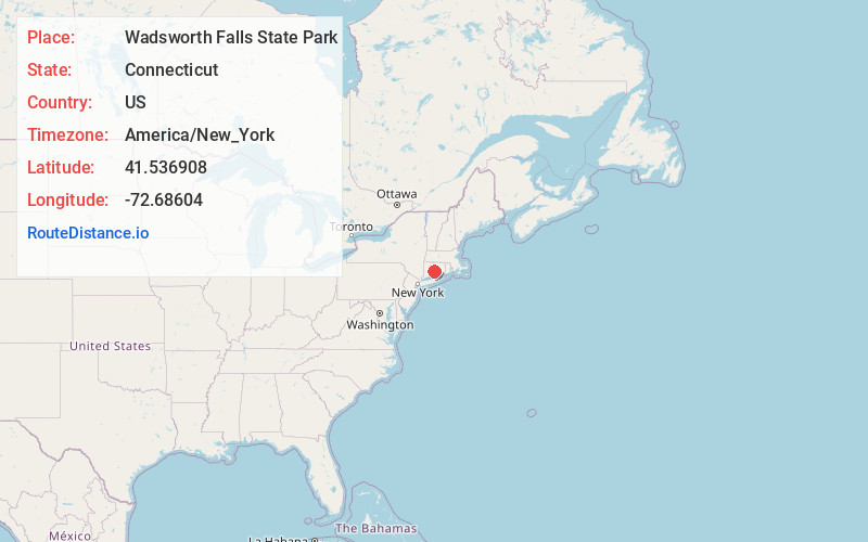
Full AddressWadsworth Falls State Park, 721 Wadsworth St, Middletown, CT 06457
-
Coordinates41.5369083, -72.6860404
-
Street721 Wadsworth St
-
LocationMiddletown , Connecticut , US
-
TimezoneAmerica/New_York
-
Current Local Time10:21:00 PM America/New_YorkTuesday, May 27, 2025
-
Page Views0
About Wadsworth Falls State Park
Swimming pool & trails in a picnic-ready park that contains a waterfall, streams & a pond.


Nearby Places
Found 10 places within 50 miles

Miramichi
1.2 mi
1.9 km
Miramichi, Middletown, CT 06457
Get directions

Middlefield
1.9 mi
3.1 km
Middlefield, CT
Get directions

Middletown
2.5 mi
4.0 km
Middletown, CT 06457
Get directions
Baileyville
2.6 mi
4.2 km
Baileyville, Middlefield, CT 06455
Get directions

Crystal Lake
2.8 mi
4.5 km
Crystal Lake, Middletown, CT 06457
Get directions

Beseck Lake
2.8 mi
4.5 km
Beseck Lake, Middlefield, CT 06455
Get directions

Black Pond
3.2 mi
5.1 km
Black Pond, Connecticut
Get directions
Highland
3.3 mi
5.3 km
Highland, Middletown, CT 06457
Get directions

Portland
3.4 mi
5.5 km
Portland, CT
Get directions

Durham
4.1 mi
6.6 km
Durham, CT 06422
Get directions
Location Links
Local Weather
Weather Information
Coming soon!
Location Map
Static map view of Wadsworth Falls State Park, Connecticut
Browse Places by Distance
Places within specific distances from Wadsworth Falls State Park
Short Distances
Long Distances
Click any distance to see all places within that range from Wadsworth Falls State Park. Distances shown in miles (1 mile ≈ 1.61 kilometers).