Distance to Wagontown, Pennsylvania

Calculating Your Route
Just a moment while we process your request...
Location Information
-
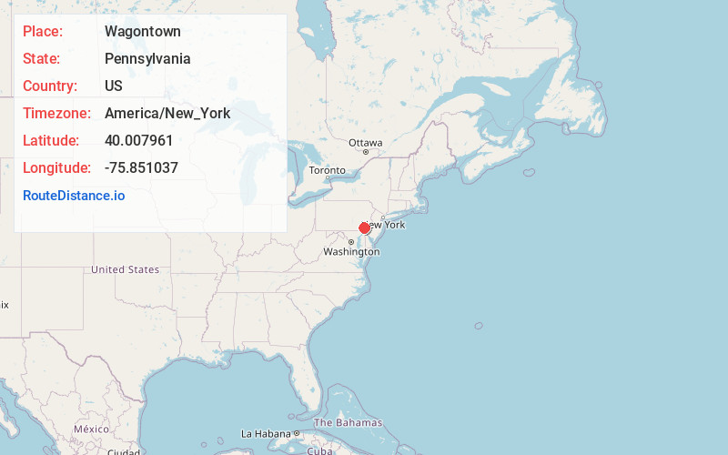
Full AddressWagontown, West Caln Township, PA 19320
-
Coordinates40.0079614, -75.8510369
-
NeighborhoodWagontown
-
LocationWest Caln Township , Pennsylvania , US
-
TimezoneAmerica/New_York
-
Current Local Time2:37:48 AM America/New_YorkThursday, July 3, 2025
-
Page Views0
About Wagontown
Wagontown is an unincorporated community in West Caln Township, Chester County, Pennsylvania, United States. Wagontown is located along Pennsylvania Route 340, 2.15 miles north-northwest of Coatesville. Wagontown has a post office with ZIP code 19376.


Nearby Places
Found 10 places within 50 miles

West Caln Township
0.9 mi
1.4 km
West Caln Township, PA
Get directions
Valley Township
1.9 mi
3.1 km
Valley Township, PA 19320
Get directions

Coatesville
2.2 mi
3.5 km
Coatesville, PA 19320
Get directions
Westwood
2.5 mi
4.0 km
Westwood, PA 19320
Get directions

Sadsburyville
2.8 mi
4.5 km
Sadsburyville, PA
Get directions

South Coatesville
2.9 mi
4.7 km
South Coatesville, PA 19320
Get directions
West Brandywine Township
3.5 mi
5.6 km
West Brandywine Township, PA
Get directions
Sadsbury Township
3.6 mi
5.8 km
Sadsbury Township, PA
Get directions

Pomeroy
3.6 mi
5.8 km
Pomeroy, PA
Get directions
Caln
3.9 mi
6.3 km
Caln, PA 19320
Get directions
Location Links
Local Weather
Weather Information
Coming soon!
Location Map
Static map view of Wagontown, Pennsylvania
Browse Places by Distance
Places within specific distances from Wagontown
Short Distances
Long Distances
Click any distance to see all places within that range from Wagontown. Distances shown in miles (1 mile ≈ 1.61 kilometers).