Distance to Wahclella Falls, Oregon

Calculating Your Route
Just a moment while we process your request...
Location Information
-
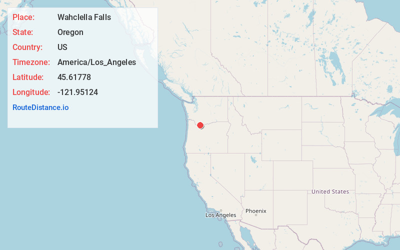
Full AddressWahclella Falls, Oregon 97014
-
Coordinates45.6177796, -121.9512399
-
LocationOregon , US
-
TimezoneAmerica/Los_Angeles
-
Current Local Time10:44:56 PM America/Los_AngelesWednesday, May 21, 2025
-
Page Views0
About Wahclella Falls
This tiered waterfall along Tanner Creek features 2 drops, a trailhead & plunge pool.


Nearby Places
Found 10 places within 50 miles

North Bonneville
1.7 mi
2.7 km
North Bonneville, WA
Get directions

Bonneville Dam
1.9 mi
3.1 km
Bonneville Dam, Cascade Locks, OR 97014
Get directions

Elowah Falls
2.1 mi
3.4 km
Elowah Falls, Oregon 97014
Get directions

Warrendale
3.1 mi
5.0 km
Warrendale, OR 97014
Get directions

Bridge of the Gods
3.9 mi
6.3 km
Bridge of the Gods, Cascade Locks, OR 97014
Get directions

Dodson
4.2 mi
6.8 km
Dodson, OR 97014
Get directions

Thunder Island
4.4 mi
7.1 km
Thunder Island, Cascade Locks, OR 97014
Get directions

Cascade Locks
4.6 mi
7.4 km
Cascade Locks, OR 97014
Get directions

Skamania
4.7 mi
7.6 km
Skamania, WA 98648
Get directions

Horsetail Falls
6.0 mi
9.7 km
Horsetail Falls, Oregon 97014
Get directions
Location Links
Local Weather
Weather Information
Coming soon!
Location Map
Static map view of Wahclella Falls, Oregon
Browse Places by Distance
Places within specific distances from Wahclella Falls
Short Distances
Long Distances
Click any distance to see all places within that range from Wahclella Falls. Distances shown in miles (1 mile ≈ 1.61 kilometers).