Distance to Wahoo, Nebraska

Calculating Your Route
Just a moment while we process your request...
Location Information
-
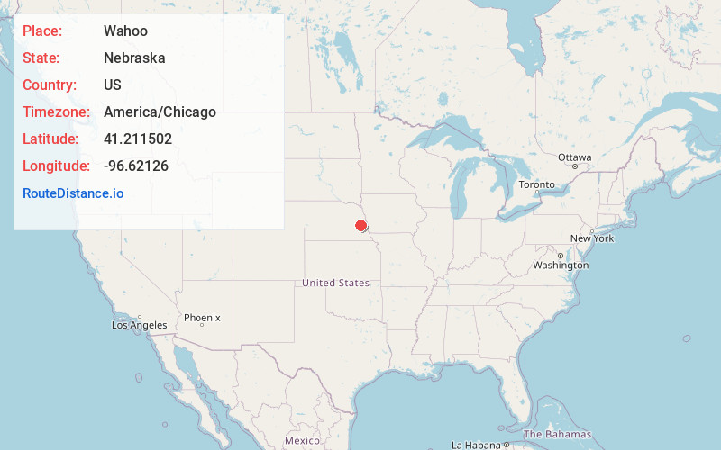
Full AddressWahoo, NE
-
Coordinates41.2115023, -96.6212604
-
LocationWahoo , Nebraska , US
-
TimezoneAmerica/Chicago
-
Current Local Time4:02:57 AM America/ChicagoWednesday, June 18, 2025
-
Website
-
Page Views0
About Wahoo
Wahoo is a city and the county seat of Saunders County, Nebraska, United States. The population was 4,818 at the 2020 census.


Nearby Places
Found 10 places within 50 miles

Fremont
16.6 mi
26.7 km
Fremont, NE 68025
Get directions

Gretna
20.4 mi
32.8 km
Gretna, NE
Get directions

Chalco
24.4 mi
39.3 km
Chalco, NE 68138
Get directions

Lincoln
27.8 mi
44.7 km
Lincoln, NE
Get directions

Schuyler
28.0 mi
45.1 km
Schuyler, NE 68661
Get directions

La Vista
29.2 mi
47.0 km
La Vista, NE
Get directions

Papillion
30.3 mi
48.8 km
Papillion, NE
Get directions

Seward
32.5 mi
52.3 km
Seward, NE 68434
Get directions

Blair
34.1 mi
54.9 km
Blair, NE 68008
Get directions

Omaha
35.8 mi
57.6 km
Omaha, NE
Get directions
Location Links
Local Weather
Weather Information
Coming soon!
Location Map
Static map view of Wahoo, Nebraska
Browse Places by Distance
Places within specific distances from Wahoo
Short Distances
Long Distances
Click any distance to see all places within that range from Wahoo. Distances shown in miles (1 mile ≈ 1.61 kilometers).