Distance to Wakefield, Kentucky

Calculating Your Route
Just a moment while we process your request...
Location Information
-
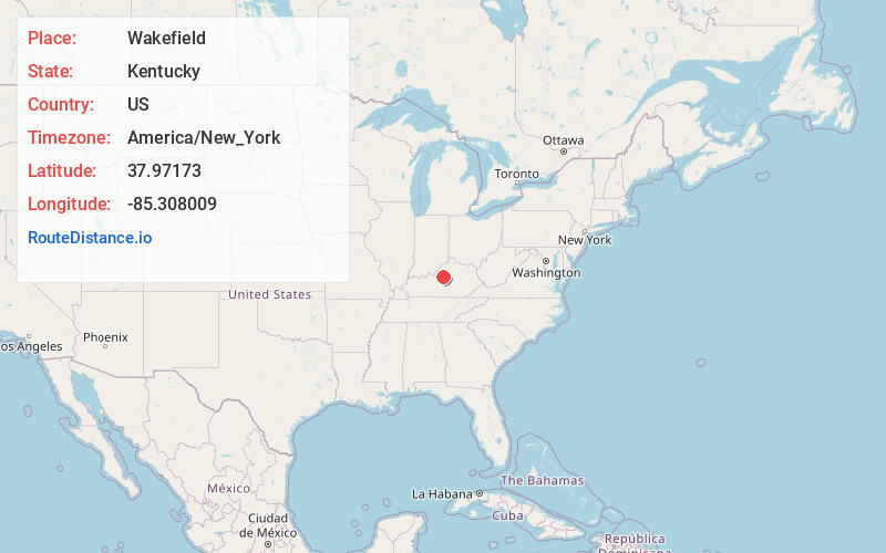
Full AddressWakefield, KY 40071
-
Coordinates37.9717298, -85.3080093
-
LocationKentucky , US
-
TimezoneAmerica/New_York
-
Current Local Time12:13:51 PM America/New_YorkFriday, May 30, 2025
-
Page Views0
About Wakefield
Wakefield is an unincorporated community in Spencer County, Kentucky, United States. Wakefield lies on Kentucky Route 55 midway between Taylorsville and Bloomfield.
Wakefield was named after Wakefield Farm, a nineteenth-century homestead.
Nearby Places
Found 10 places within 50 miles

Bloomfield
4.2 mi
6.8 km
Bloomfield, KY 40008
Get directions

Taylorsville
4.6 mi
7.4 km
Taylorsville, KY 40071
Get directions

Fairfield
4.9 mi
7.9 km
Fairfield, KY
Get directions
Little Mt
6.9 mi
11.1 km
Little Mt, KY 40071
Get directions
Rivals
8.6 mi
13.8 km
Rivals, KY 40071
Get directions
Normandy
8.9 mi
14.3 km
Normandy, KY 40071
Get directions
Sparrow
9.2 mi
14.8 km
Sparrow, KY 40342
Get directions
Veech
10.3 mi
16.6 km
Veech, KY 40065
Get directions

Coxs Creek
10.3 mi
16.6 km
Coxs Creek, KY
Get directions
Crenshaw
10.4 mi
16.7 km
Crenshaw, KY 40071
Get directions
Location Links
Local Weather
Weather Information
Coming soon!
Location Map
Static map view of Wakefield, Kentucky
Browse Places by Distance
Places within specific distances from Wakefield
Short Distances
Long Distances
Click any distance to see all places within that range from Wakefield. Distances shown in miles (1 mile ≈ 1.61 kilometers).