Distance to Wakefield-Peace Dale, Rhode Island

Calculating Your Route
Just a moment while we process your request...
Location Information
-
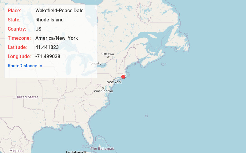
Full AddressWakefield-Peace Dale, South Kingstown, RI
-
Coordinates41.4418228, -71.4990383
-
NeighborhoodWakefield-Peace Dale
-
LocationSouth Kingstown , Rhode Island , US
-
TimezoneAmerica/New_York
-
Current Local Time6:48:45 PM America/New_YorkFriday, June 20, 2025
-
Page Views0
About Wakefield-Peace Dale
Wakefield-Peacedale is a census-designated place in the town of South Kingstown in Washington County, Rhode Island, United States that includes the villages of Peace Dale and Wakefield. The population was 8,487 at the 2010 census.
Nearby Places
Found 10 places within 50 miles

South Kingstown
0.2 mi
0.3 km
South Kingstown, RI
Get directions

Narragansett
2.6 mi
4.2 km
Narragansett, RI
Get directions

Clarks Village
5.8 mi
9.3 km
Clarks Village, Jamestown, RI 02835
Get directions

Jamestown
7.6 mi
12.2 km
Jamestown, RI
Get directions

Charlestown
8.4 mi
13.5 km
Charlestown, RI
Get directions

North Kingstown
8.8 mi
14.2 km
North Kingstown, RI
Get directions

Richmond
9.6 mi
15.4 km
Richmond, RI
Get directions

Newport
10.3 mi
16.6 km
Newport, RI
Get directions
Ellis Flats
10.4 mi
16.7 km
Ellis Flats, Richmond, RI 02894
Get directions

Exeter
10.4 mi
16.7 km
Exeter, RI
Get directions
Location Links
Local Weather
Weather Information
Coming soon!
Location Map
Static map view of Wakefield-Peace Dale, Rhode Island
Browse Places by Distance
Places within specific distances from Wakefield-Peace Dale
Short Distances
Long Distances
Click any distance to see all places within that range from Wakefield-Peace Dale. Distances shown in miles (1 mile ≈ 1.61 kilometers).