Distance to Walden, Georgia

Calculating Your Route
Just a moment while we process your request...
Location Information
-
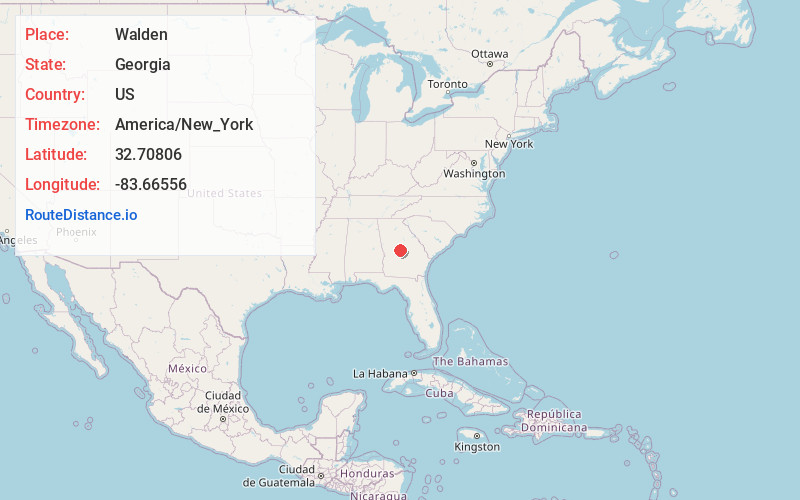
Full AddressWalden, GA 31216
-
Coordinates32.70806, -83.66556
-
LocationWalden , Georgia , US
-
TimezoneAmerica/New_York
-
Current Local Time4:36:56 AM America/New_YorkWednesday, June 18, 2025
-
Page Views0
About Walden
Walden is an unincorporated community in Bibb County, Georgia, United States. It is part of the Macon Metropolitan Statistical Area.
Nearby Places
Found 10 places within 50 miles

Sofkee
1.3 mi
2.1 km
Sofkee, GA 31216
Get directions
Rutland
2.4 mi
3.9 km
Rutland, GA 31216
Get directions
Skipperton
2.9 mi
4.7 km
Skipperton, GA 31216
Get directions

Centerville
5.6 mi
9.0 km
Centerville, GA
Get directions
Terra Cotta
6.1 mi
9.8 km
Terra Cotta, Macon, GA 31206
Get directions

Robins AFB
6.4 mi
10.3 km
Robins AFB, GA 31098
Get directions

Byron
6.6 mi
10.6 km
Byron, GA 31008
Get directions

Warner Robins
7.0 mi
11.3 km
Warner Robins, GA
Get directions

Macon
9.1 mi
14.6 km
Macon, GA
Get directions
Crystal Springs
11.0 mi
17.7 km
Crystal Springs, GA 31217
Get directions
Location Links
Local Weather
Weather Information
Coming soon!
Location Map
Static map view of Walden, Georgia
Browse Places by Distance
Places within specific distances from Walden
Short Distances
Long Distances
Click any distance to see all places within that range from Walden. Distances shown in miles (1 mile ≈ 1.61 kilometers).