Distance to Walden, New York

Calculating Your Route
Just a moment while we process your request...
Location Information
-
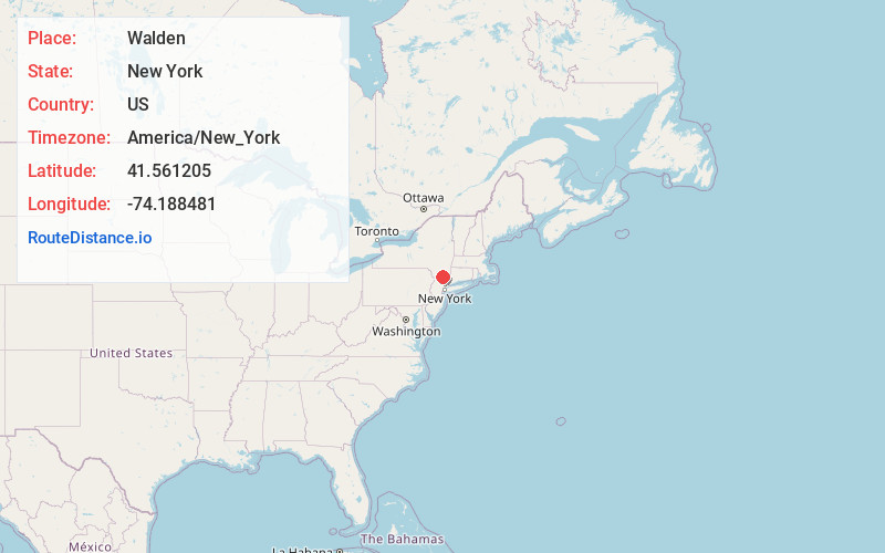
Full AddressWalden, NY 12586
-
Coordinates41.561205, -74.188481
-
LocationWalden , New York , US
-
TimezoneAmerica/New_York
-
Current Local Time6:19:10 PM America/New_YorkSaturday, June 7, 2025
-
Page Views0
About Walden
Walden is the largest of three villages of the town of Montgomery in Orange County, New York, United States. The population was 6,818 at the 2020 census. It has the ZIP Code 12586 and the 778 telephone exchange within the 845 area code.


Nearby Places
Found 10 places within 50 miles

East Walden
1.6 mi
2.6 km
East Walden, Montgomery, NY 12586
Get directions
Lake Osiris Colony
1.6 mi
2.6 km
Lake Osiris Colony, Montgomery, NY 12586
Get directions
Borden Estate
2.4 mi
3.9 km
Borden Estate, Shawangunk, NY 12589
Get directions
Coldenham
3.1 mi
5.0 km
Coldenham, Montgomery, NY 12586
Get directions

Wallkill
3.1 mi
5.0 km
Wallkill, NY 12589
Get directions

Montgomery
3.4 mi
5.5 km
Montgomery, NY 12549
Get directions
Morrison Heights
3.9 mi
6.3 km
Morrison Heights, Montgomery, NY 12549
Get directions

Shawangunk
4.7 mi
7.6 km
Shawangunk, NY
Get directions

Orange Lake
4.9 mi
7.9 km
Orange Lake, NY
Get directions
Leptondale
4.9 mi
7.9 km
Leptondale, Orange Lake, NY 12550
Get directions
Location Links
Local Weather
Weather Information
Coming soon!
Location Map
Static map view of Walden, New York
Browse Places by Distance
Places within specific distances from Walden
Short Distances
Long Distances
Click any distance to see all places within that range from Walden. Distances shown in miles (1 mile ≈ 1.61 kilometers).