Distance to Waldo Junction, California

Calculating Your Route
Just a moment while we process your request...
Location Information
-
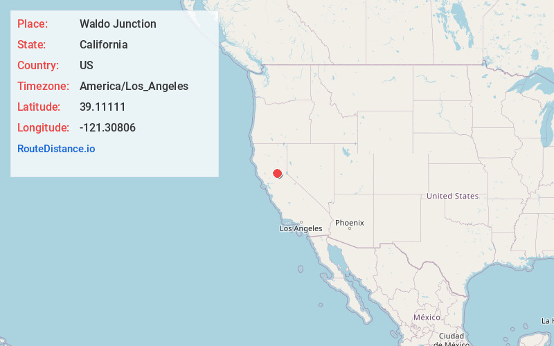
Full AddressWaldo Junction, CA 95903
-
Coordinates39.1111099, -121.30806
-
LocationWaldo Junction , California , US
-
TimezoneAmerica/Los_Angeles
-
Current Local Time4:44:35 AM America/Los_AngelesMonday, June 2, 2025
-
Page Views0
About Waldo Junction
Waldo Junction is an unincorporated community in Yuba County, California. It is located on Dry Creek 9.5 miles northeast of Wheatland, at an elevation of 256 feet.
A post office operated here from 1898 to 1915. Originally called Cabbage Patch in 1852, the name changed to Waldo upon the opening of the post office.


Nearby Places
Found 10 places within 50 miles

Beale AFB
2.8 mi
4.5 km
Beale AFB, CA
Get directions

Smartsville
6.7 mi
10.8 km
Smartsville, CA 95977
Get directions

Sucker Flat
7.0 mi
11.3 km
Sucker Flat, CA 95977
Get directions

Timbuctoo
7.3 mi
11.7 km
Timbuctoo, CA 95977
Get directions
Mooney Flat
7.4 mi
11.9 km
Mooney Flat, CA 95977
Get directions

Hammonton
8.3 mi
13.4 km
Hammonton, CA 95901
Get directions
Sicard Flat
8.5 mi
13.7 km
Sicard Flat, CA 95918
Get directions

Penn Valley
8.6 mi
13.8 km
Penn Valley, CA 95946
Get directions
Marigold
9.3 mi
15.0 km
Marigold, CA 95901
Get directions

Wheatland
9.4 mi
15.1 km
Wheatland, CA
Get directions
Location Links
Local Weather
Weather Information
Coming soon!
Location Map
Static map view of Waldo Junction, California
Browse Places by Distance
Places within specific distances from Waldo Junction
Short Distances
Long Distances
Click any distance to see all places within that range from Waldo Junction. Distances shown in miles (1 mile ≈ 1.61 kilometers).